Tahoramaurea Island / Browns Island Area, Tahoramaurea Island / Browns Island Postcode & Map in Tahoramaurea Island / Browns Island
Tahoramaurea Island / Browns Island Area, Tahoramaurea Island / Browns Island Postcode & Map in Tahoramaurea Island / Browns Island, Kapiti Coast District,
Tahoramaurea Island / Browns Island, Kapiti Coast District,
Tahoramaurea Island / Browns Island Area (estimated)
0.0 square kilometersTahoramaurea Island / Browns Island Population (estimated)
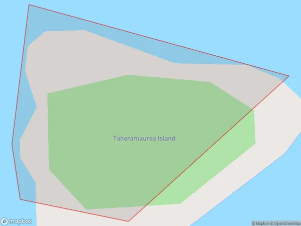
0 people live in Tahoramaurea Island / Browns Island, Brighton, NZTahoramaurea Island / Browns Island Suburb Area Map (Polygon)
Region
Major City
Suburb Name
Tahoramaurea Island / Browns IslandOther Name(s)
Browns Island, Tahoramaurea IslandTahoramaurea Island / Browns Island Area Map (Street)
Local Authority
Kapiti Coast DistrictFull Address
Tahoramaurea Island / Browns Island, Kapiti Coast District,Address Type
IslandTahoramaurea Island / Browns Island Suburb Map (Satellite)
Country
Main Region in AU
OtagoTahoramaurea Island / Browns Island Region Map
Coordinates
0,0 (latitude/longitude)Distances
The distance from Tahoramaurea Island / Browns Island, , Kapiti Coast District to NZ Top 10 Cities