Sugarloaf Rock Area, Sugarloaf Rock Postcode & Map in Sugarloaf Rock
Sugarloaf Rock Area, Sugarloaf Rock Postcode & Map in Sugarloaf Rock, Area outside Territorial Authority, New Zealand
Sugarloaf Rock, Area outside Territorial Authority, New Zealand
Sugarloaf Rock Area (estimated)
0.0 square kilometersSugarloaf Rock Population (estimated)
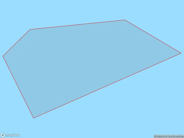
0 people live in Sugarloaf Rock, Northland, NZSugarloaf Rock Suburb Area Map (Polygon)
Sugarloaf Rock Introduction
Sugarloaf Rock is a rock formation located in Northland, New Zealand. It is known for its distinctive shape and is a popular tourist attraction. The rock is approximately 150 meters tall and has a flat top. It is believed to have been formed by volcanic activity. Sugarloaf Rock is a popular climbing destination and has been the site of several successful ascents.Region
Suburb Name
Sugarloaf RockSugarloaf Rock Area Map (Street)

Local Authority
Area outside Territorial AuthorityFull Address
Sugarloaf Rock, Area outside Territorial Authority, New ZealandAddress Type
IslandSugarloaf Rock Suburb Map (Satellite)

Country
Main Region in AU
NorthlandSugarloaf Rock Region Map

Coordinates
-35.56522425,174.704476692654 (latitude/longitude)Distances
The distance from Sugarloaf Rock, , Area outside Territorial Authority to NZ Top 10 Cities