Sugarloaf Island Area, Sugarloaf Island Postcode & Map in Sugarloaf Island
Sugarloaf Island Area, Sugarloaf Island Postcode & Map in Sugarloaf Island, Area outside Territorial Authority, New Zealand
Sugarloaf Island, Area outside Territorial Authority, New Zealand
Sugarloaf Island Area (estimated)
0.0 square kilometersSugarloaf Island Population (estimated)
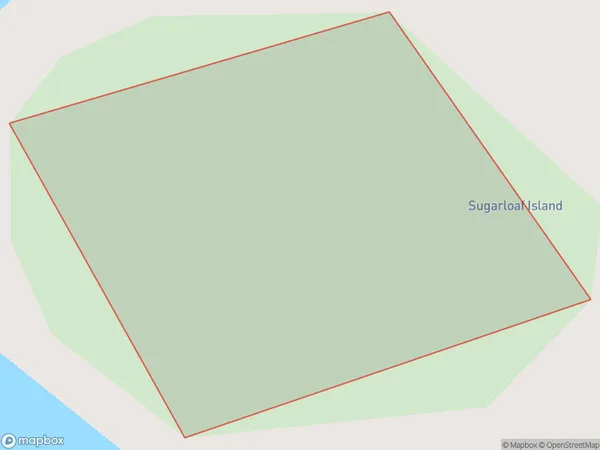
0 people live in Sugarloaf Island, Northland, NZSugarloaf Island Suburb Area Map (Polygon)
Sugarloaf Island Introduction
Sugarloaf Island is located in the Bay of Islands, Northland, New Zealand. It is a small, uninhabited island with a rocky coastline and stunning natural scenery. The island is a popular destination for hiking, camping, and wildlife viewing, with a variety of bird species and occasional visits from dolphins and whales.Region
Suburb Name
Sugarloaf IslandOther Name(s)
Moturoa IslandsSugarloaf Island Area Map (Street)

Local Authority
Area outside Territorial AuthorityFull Address
Sugarloaf Island, Area outside Territorial Authority, New ZealandAddress Type
IslandSugarloaf Island Suburb Map (Satellite)

Country
Main Region in AU
NorthlandSugarloaf Island Region Map

Coordinates
-34.784533,173.361611460095 (latitude/longitude)Distances
The distance from Sugarloaf Island, , Area outside Territorial Authority to NZ Top 10 Cities