Sugarloaf Area, Sugarloaf Postcode(0622) & Map in Sugarloaf
Sugarloaf Area, Sugarloaf Postcode(0622) & Map in Sugarloaf, Auckland, New Zealand
Sugarloaf, Auckland, New Zealand
Sugarloaf Postcodes
0Sugarloaf Population (estimated)
0 people live in Sugarloaf, Aotea Great Barrier, NZ0Sugarloaf Introduction
Sugarloaf is a volcanic cone located in the Auckland region of New Zealand. It is a popular tourist destination with stunning views of the surrounding area, including the Auckland Harbour and the city skyline. The cone is also a popular climbing destination, with several trails leading to the summit.Region
Major City
Suburb Name
SugarloafOther Name(s)
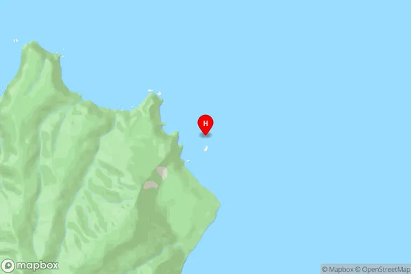
Hauraki GulfSugarloaf Area Map (Street)
Local Authority
AucklandFull Address
Sugarloaf, Auckland, New ZealandAddress Type
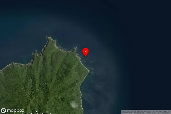
IslandSugarloaf Suburb Map (Satellite)
Country
Main Region in AU
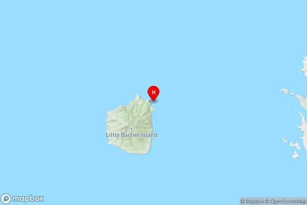
AucklandSugarloaf Region Map
Coordinates
-36.17525415,175.112232136703 (latitude/longitude)Distances
The distance from Sugarloaf, , Auckland to NZ Top 10 Cities