Stop Island Area, Stop Island Postcode & Map in Stop Island
Stop Island Area, Stop Island Postcode & Map in Stop Island, Southland District, New Zealand
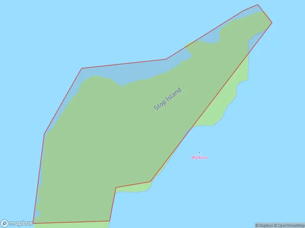
Stop Island, Southland District, New Zealand
Stop Island Area (estimated)
0.1 square kilometersStop Island Population (estimated)
0 people live in Stop Island, Southland, NZStop Island Suburb Area Map (Polygon)
Stop Island Introduction
Stop Island is a small island in Fiordland National Park, Southland, New Zealand. It is known for its stunning natural beauty, including waterfalls, rainforests, and crystal-clear lakes. The island is accessible by a scenic ferry ride from Milford Sound or by a hike from the nearby village of Te Anau. It is a popular destination for outdoor enthusiasts and nature lovers, with opportunities for hiking, kayaking, and wildlife viewing.Region
Suburb Name
Stop IslandOther Name(s)
Tamatea / Dusky SoundStop Island Area Map (Street)

Local Authority
Southland DistrictFull Address
Stop Island, Southland District, New ZealandAddress Type
IslandStop Island Suburb Map (Satellite)

Country
Main Region in AU
SouthlandStop Island Region Map

Coordinates
-45.76589065,166.54240328196 (latitude/longitude)Distances
The distance from Stop Island, , Southland District to NZ Top 10 Cities