Stewart Island / Tekuru Kuru Area, Stewart Island / Tekuru Kuru Postcode & Map in Stewart Island / Tekuru Kuru
Stewart Island / Tekuru Kuru Area, Stewart Island / Tekuru Kuru Postcode & Map in Stewart Island / Tekuru Kuru, Marlborough District, New Zealand
Stewart Island / Tekuru Kuru, Marlborough District, New Zealand
Stewart Island / Tekuru Kuru Area (estimated)
0.0 square kilometersStewart Island / Tekuru Kuru Population (estimated)
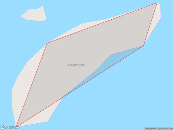
0 people live in Stewart Island / Tekuru Kuru, Marlborough, NZStewart Island / Tekuru Kuru Suburb Area Map (Polygon)
Stewart Island / Tekuru Kuru Introduction
Stewart Island / Tekuru Kuru is located in the Marlborough Sounds, New Zealand. It is the third-largest island in the Sounds and is known for its rugged terrain, wildlife, and stunning natural beauty. The island has a population of around 400 people and is accessible by ferry from Blenheim or Kaikoura. It is a popular destination for hiking, camping, and wildlife watching, with many species of birds, seals, and penguins found on the island.Region
0Suburb Name
Stewart Island / Tekuru KuruOther Name(s)
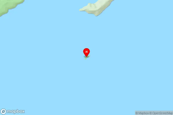
Stewart Island, Tekuru KuruStewart Island / Tekuru Kuru Area Map (Street)
Local Authority
Marlborough DistrictFull Address
Stewart Island / Tekuru Kuru, Marlborough District, New ZealandAddress Type
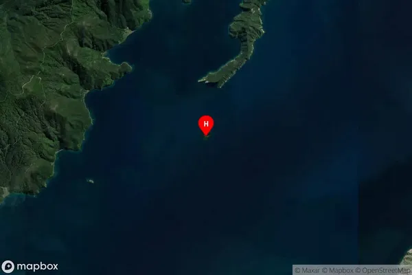
Island in Major Locality Marlborough SoundsStewart Island / Tekuru Kuru Suburb Map (Satellite)
Country
Main Region in AU
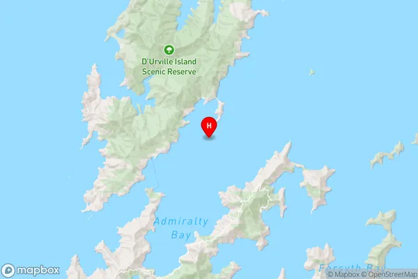
MarlboroughStewart Island / Tekuru Kuru Region Map
Coordinates
-40.88825865,173.897768491833 (latitude/longitude)Distances
The distance from Stewart Island / Tekuru Kuru, Marlborough Sounds, Marlborough District to NZ Top 10 Cities