Stevensons Island Area, Stevensons Island Postcode(9300) & Map in Stevensons Island
Stevensons Island Area, Stevensons Island Postcode(9300) & Map in Stevensons Island, Queenstown-Lakes District, New Zealand
Stevensons Island, Queenstown-Lakes District, New Zealand
Stevensons Island Postcodes
Stevensons Island Area (estimated)
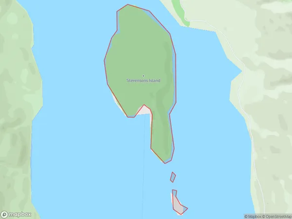
0.6 square kilometersStevensons Island Population (estimated)
0 people live in Stevensons Island, Otago, NZStevensons Island Suburb Area Map (Polygon)
Stevensons Island Introduction
Stevensons Island is located in the Otago Harbour, south of Dunedin, New Zealand. It is a small, rocky island with a population of around 200 people. The island has a rich history, including being used as a prison and a leper colony. It is also home to a variety of wildlife, including seals, penguins, and albatrosses. Visitors can reach the island by a short ferry ride from Dunedin.Region
Suburb Name
Stevensons IslandOther Name(s)
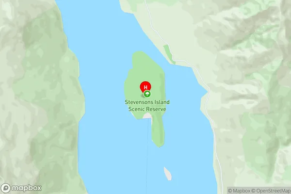
Stevensons ArmStevensons Island Area Map (Street)
Local Authority
Queenstown-Lakes DistrictFull Address
Stevensons Island, Queenstown-Lakes District, New ZealandAddress Type
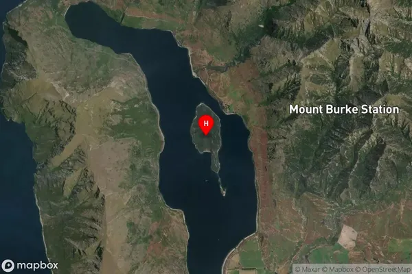
IslandStevensons Island Suburb Map (Satellite)
Country
Main Region in AU
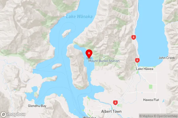
OtagoStevensons Island Region Map
Coordinates
-44.59643975,169.135354250397 (latitude/longitude)Distances
The distance from Stevensons Island, , Queenstown-Lakes District to NZ Top 10 Cities