Stephens Island / Takapourewa Area, Stephens Island / Takapourewa Postcode & Map in Stephens Island / Takapourewa
Stephens Island / Takapourewa Area, Stephens Island / Takapourewa Postcode & Map in Stephens Island / Takapourewa, Marlborough District, New Zealand
Stephens Island / Takapourewa, Marlborough District, New Zealand
Stephens Island / Takapourewa Area (estimated)
1.7 square kilometersStephens Island / Takapourewa Population (estimated)
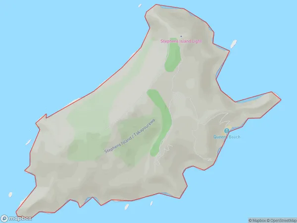
0 people live in Stephens Island / Takapourewa, Marlborough, NZStephens Island / Takapourewa Suburb Area Map (Polygon)

Stephens Island / Takapourewa Introduction
Stephens Island / Takapourewa is a small island in the Marlborough Sounds, New Zealand. It is part of the Abel Tasman National Park and is known for its stunning natural beauty, including lush forests, crystal-clear waters, and stunning coastal views. The island is home to a variety of wildlife, including seals, penguins, and bird species. Visitors can explore the island by walking or hiking trails, and there are also boat tours available to get a closer look at the wildlife and scenery.Region
0Suburb Name
Stephens Island / TakapourewaOther Name(s)
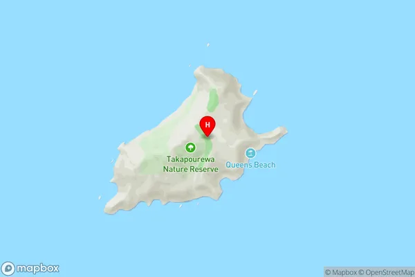
Stephens Island, TakapourewaStephens Island / Takapourewa Area Map (Street)

Local Authority
Marlborough DistrictFull Address
Stephens Island / Takapourewa, Marlborough District, New ZealandAddress Type
Island in Major Locality Marlborough SoundsStephens Island / Takapourewa Suburb Map (Satellite)

Country
Main Region in AU
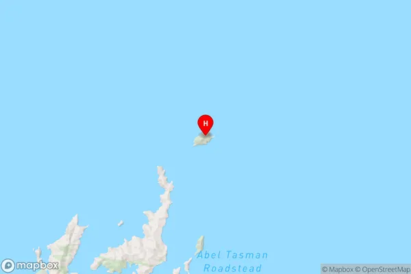
MarlboroughStephens Island / Takapourewa Region Map

Coordinates
-40.67025765,173.999117361093 (latitude/longitude)Distances
The distance from Stephens Island / Takapourewa, Marlborough Sounds, Marlborough District to NZ Top 10 Cities