Steep-to Island Area, Steep-to Island Postcode & Map in Steep-to Island
Steep-to Island Area, Steep-to Island Postcode & Map in Steep-to Island, Southland District, New Zealand
Steep-to Island, Southland District, New Zealand
Steep-to Island Area (estimated)
0.7 square kilometersSteep-to Island Population (estimated)
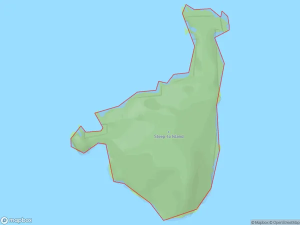
0 people live in Steep-to Island, Southland, NZSteep-to Island Suburb Area Map (Polygon)
Steep-to Island Introduction
Steep-to Island is located in Fiordland National Park in Southland, New Zealand. It is a small island with a rugged coastline and is home to a variety of wildlife, including seals, penguins, and kea. The island is accessible by a short boat ride from the town of Milford Sound.Region
Suburb Name
Steep-to IslandOther Name(s)
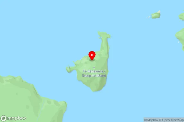
Rakituma / Preservation InletSteep-to Island Area Map (Street)
Local Authority
Southland DistrictFull Address
Steep-to Island, Southland District, New ZealandAddress Type
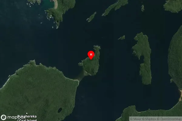
IslandSteep-to Island Suburb Map (Satellite)
Country
Main Region in AU
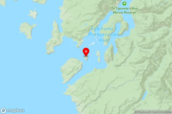
SouthlandSteep-to Island Region Map
Coordinates
-46.0957585,166.664553242785 (latitude/longitude)Distances
The distance from Steep-to Island, , Southland District to NZ Top 10 Cities