Square Top Island Area, Square Top Island Postcode(3500) & Map in Square Top Island
Square Top Island Area, Square Top Island Postcode(3500) & Map in Square Top Island, Thames-Coromandel District, New Zealand
Square Top Island, Thames-Coromandel District, New Zealand
Square Top Island Postcodes
Square Top Island Area (estimated)
0.1 square kilometersSquare Top Island Population (estimated)
0 people live in Square Top Island, Waikato, NZSquare Top Island Suburb Area Map (Polygon)
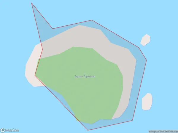
Square Top Island Introduction
Square Top Island is a small island in the Waikato River, New Zealand. It is known for its scenic views, birdlife, and historic ruins of a former settlement. The island is accessible by a short ferry ride from the town of Hamilton.Region
Suburb Name
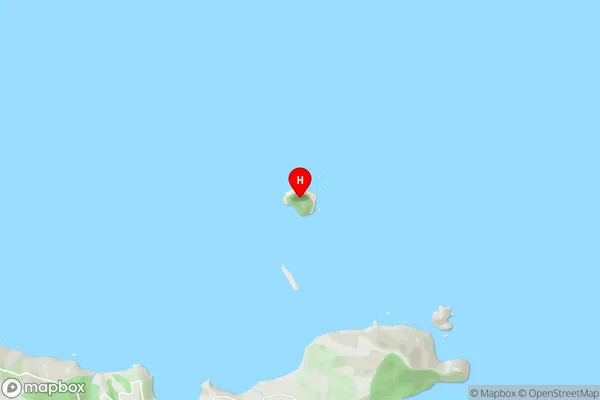
Square Top IslandSquare Top Island Area Map (Street)
Local Authority
Thames-Coromandel DistrictFull Address
Square Top Island, Thames-Coromandel District, New ZealandAddress Type
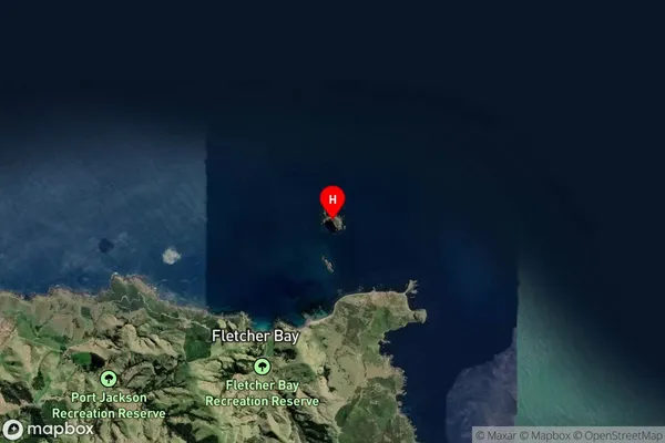
IslandSquare Top Island Suburb Map (Satellite)
Country
Main Region in AU
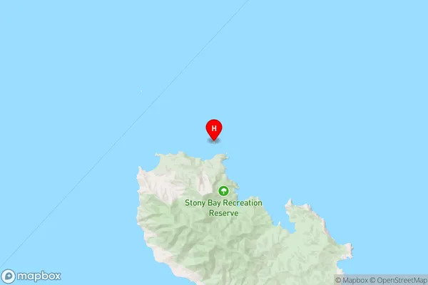
WaikatoSquare Top Island Region Map
Coordinates
-36.4619235,175.401190112582 (latitude/longitude)Distances
The distance from Square Top Island, , Thames-Coromandel District to NZ Top 10 Cities