Solander Island / Hautere Area, Solander Island / Hautere Postcode & Map in Solander Island / Hautere
Solander Island / Hautere Area, Solander Island / Hautere Postcode & Map in Solander Island / Hautere, Southland District, New Zealand
Solander Island / Hautere, Southland District, New Zealand
Solander Island / Hautere Area (estimated)
1.0 square kilometersSolander Island / Hautere Population (estimated)
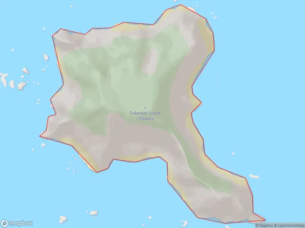
0 people live in Solander Island / Hautere, Southland, NZSolander Island / Hautere Suburb Area Map (Polygon)
Solander Island / Hautere Introduction
Solander Island / Hautere is a small island in Fiordland National Park, Southland, New Zealand. It is known for its stunning natural beauty, including lush forests, waterfalls, and a variety of bird species. The island is also home to a historic lighthouse and a small settlement of native New Zealanders. Visitors can reach the island by boat or helicopter from nearby Queenstown or Invercargill.Region
Suburb Name
Solander Island / HautereOther Name(s)
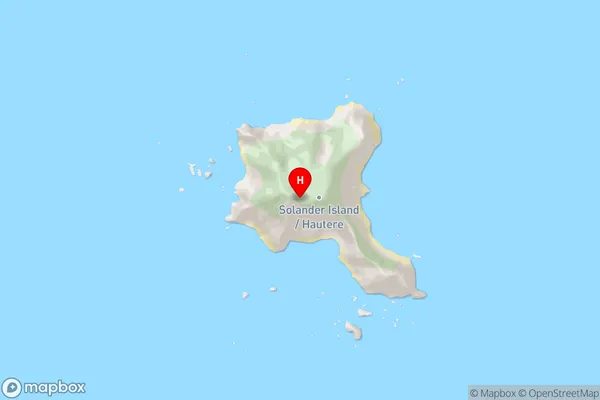
Hautere, Solander IslandSolander Island / Hautere Area Map (Street)
Local Authority
Southland DistrictFull Address
Solander Island / Hautere, Southland District, New ZealandAddress Type
IslandSolander Island / Hautere Suburb Map (Satellite)

Country
Main Region in AU
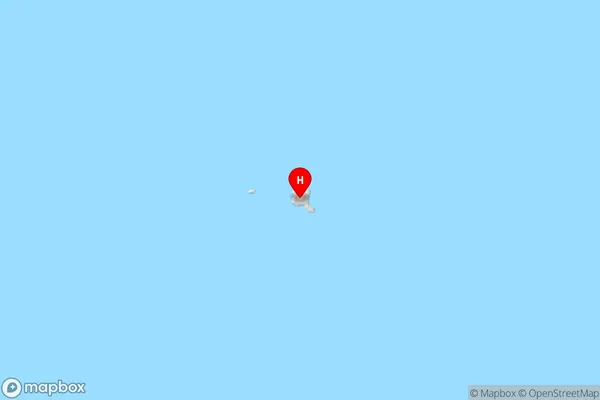
SouthlandSolander Island / Hautere Region Map
Coordinates
-46.57350585,166.896081915995 (latitude/longitude)Distances
The distance from Solander Island / Hautere, , Southland District to NZ Top 10 Cities