Shoe Island (Motuhoa) Area, Shoe Island (Motuhoa) Postcode(3500) & Map in Shoe Island (Motuhoa)
Shoe Island (Motuhoa) Area, Shoe Island (Motuhoa) Postcode(3500) & Map in Shoe Island (Motuhoa), Thames-Coromandel District, New Zealand
Shoe Island (Motuhoa), Thames-Coromandel District, New Zealand
Shoe Island (Motuhoa) Postcodes
Shoe Island (Motuhoa) Area (estimated)
0.6 square kilometersShoe Island (Motuhoa) Population (estimated)
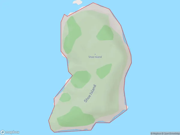
0 people live in Shoe Island (Motuhoa), Waikato, NZShoe Island (Motuhoa) Suburb Area Map (Polygon)
Shoe Island (Motuhoa) Introduction
Shoe Island (Motuhoa) is a small, uninhabited island in the Waikato region of New Zealand. It is known for its unique geological features, including a series of arches and caves formed by volcanic activity. The island is a popular destination for boaters and divers and is part of the Motuhoa Island Marine Reserve.Region
Suburb Name
Shoe Island (Motuhoa)Other Name(s)
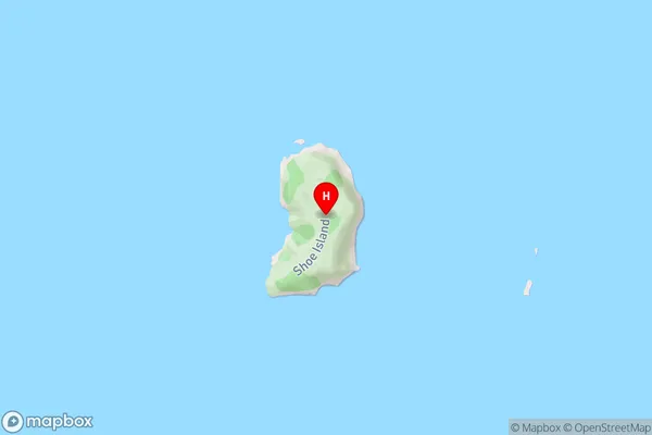
Motuhoa, Shoe IslandShoe Island (Motuhoa) Area Map (Street)
Local Authority
Thames-Coromandel DistrictFull Address
Shoe Island (Motuhoa), Thames-Coromandel District, New ZealandAddress Type
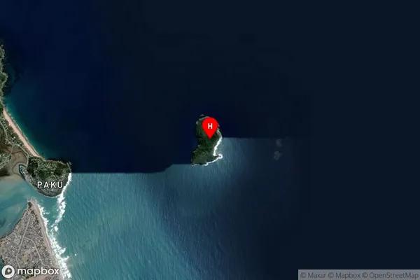
IslandShoe Island (Motuhoa) Suburb Map (Satellite)
Country
Main Region in AU
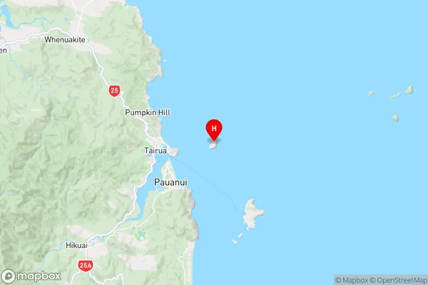
WaikatoShoe Island (Motuhoa) Region Map
Coordinates
-36.9937258,175.906459120807 (latitude/longitude)Distances
The distance from Shoe Island (Motuhoa), , Thames-Coromandel District to NZ Top 10 Cities