Seymour Island Area, Seymour Island Postcode & Map in Seymour Island
Seymour Island Area, Seymour Island Postcode & Map in Seymour Island, Southland District, New Zealand
Seymour Island, Southland District, New Zealand
Seymour Island Area (estimated)
0.0 square kilometersSeymour Island Population (estimated)
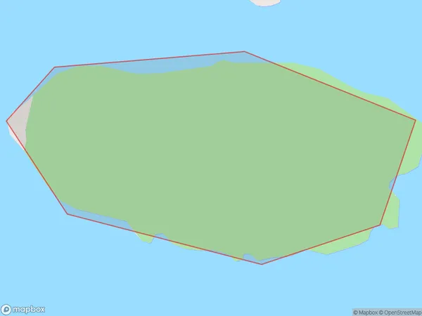
0 people live in Seymour Island, Southland, NZSeymour Island Suburb Area Map (Polygon)
Seymour Island Introduction
Seymour Island is located in Fiordland National Park in Southland, New Zealand. It is known for its stunning natural beauty, including snow-capped mountains, crystal-clear lakes, and abundant wildlife. The island is home to a variety of bird species, including the rare and endangered southern bald eagle. Visitors can explore the island on foot or by boat, and there are also several hiking trails and scenic viewpoints. The island is a popular destination for tourists and nature enthusiasts alike.Region
Suburb Name
Seymour IslandOther Name(s)
Doubtful Sound / PateaSeymour Island Area Map (Street)

Local Authority
Southland DistrictFull Address
Seymour Island, Southland District, New ZealandAddress Type
IslandSeymour Island Suburb Map (Satellite)

Country
Main Region in AU
SouthlandSeymour Island Region Map

Coordinates
-45.3074228,167.006547566462 (latitude/longitude)Distances
The distance from Seymour Island, , Southland District to NZ Top 10 Cities