Seal Island Area, Seal Island Postcode & Map in Seal Island
Seal Island Area, Seal Island Postcode & Map in Seal Island, Buller District, New Zealand
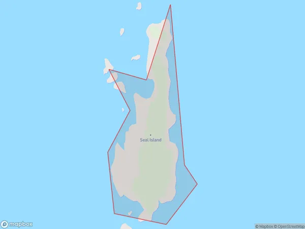
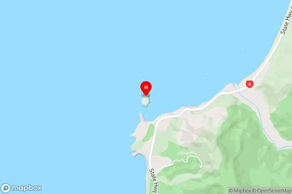
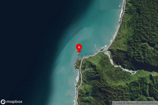
Seal Island, Buller District, New Zealand
Seal Island Area (estimated)
0.0 square kilometersSeal Island Population (estimated)
0 people live in Seal Island, West Coast, NZSeal Island Suburb Area Map (Polygon)
Seal Island Introduction
Seal Island is a small, uninhabited island off the west coast of New Zealand. It is home to a large colony of seals and is a popular tourist destination. The island is accessible by boat from the town of Westport. Visitors can walk among the seals and watch them in their natural habitat. Seal Island is also known for its beautiful beaches and rugged cliffs.Region
Suburb Name
Seal IslandSeal Island Area Map (Street)
Local Authority
Buller DistrictFull Address
Seal Island, Buller District, New ZealandAddress Type
IslandSeal Island Suburb Map (Satellite)
Country
Main Region in AU
West CoastSeal Island Region Map

Coordinates
-42.0325017,171.3669394 (latitude/longitude)Distances
The distance from Seal Island, , Buller District to NZ Top 10 Cities