Saxton Island Area, Saxton Island Postcode(7045) & Map in Saxton Island
Saxton Island Area, Saxton Island Postcode(7045) & Map in Saxton Island, Nelson City, New Zealand
Saxton Island, Nelson City, New Zealand
Saxton Island Postcodes
Saxton Island Area (estimated)
0.1 square kilometersSaxton Island Population (estimated)
0 people live in Saxton Island, Nelson, NZSaxton Island Suburb Area Map (Polygon)
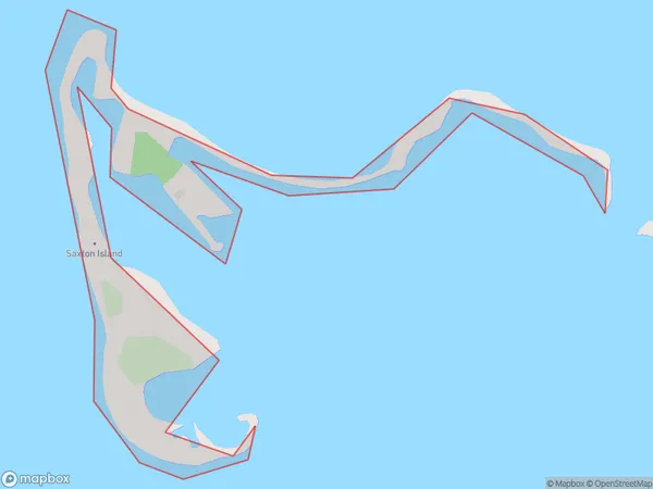
Saxton Island Introduction
Saxton Island is a small island in the Nelson region of New Zealand. It is part of the Abel Tasman National Park and is known for its scenic beauty, including beaches, forests, and wildlife. The island is accessible by boat or helicopter and is popular with tourists and outdoor enthusiasts.Region
Major City
Suburb Name
Saxton IslandOther Name(s)
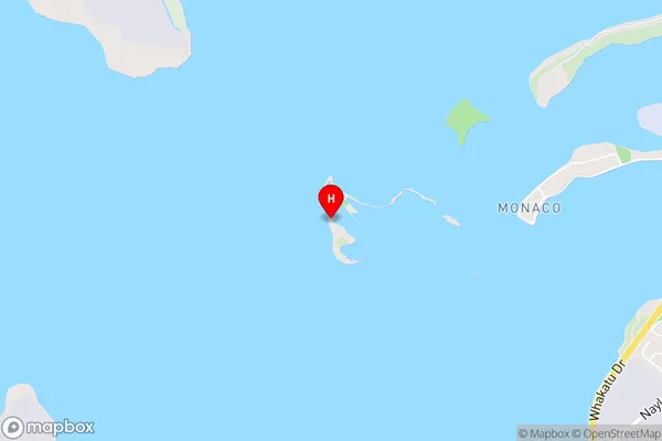
Waimea InletSaxton Island Area Map (Street)
Local Authority
Nelson CityFull Address
Saxton Island, Nelson City, New ZealandAddress Type
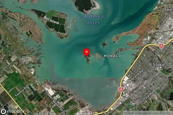
IslandSaxton Island Suburb Map (Satellite)
Country
Main Region in AU
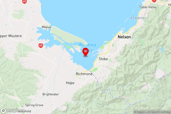
NelsonSaxton Island Region Map
Coordinates
-41.3075344,173.190435529527 (latitude/longitude)Distances
The distance from Saxton Island, , Nelson City to NZ Top 10 Cities