Sandy Bay Island Area, Sandy Bay Island Postcode(1148) & Map in Sandy Bay Island
Sandy Bay Island Area, Sandy Bay Island Postcode(1148) & Map in Sandy Bay Island, Auckland, New Zealand
Sandy Bay Island, Auckland, New Zealand
Sandy Bay Island Postcodes
Sandy Bay Island Area (estimated)
0.0 square kilometersSandy Bay Island Population (estimated)
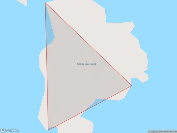
0 people live in Sandy Bay Island, Waiheke, NZSandy Bay Island Suburb Area Map (Polygon)
Sandy Bay Island Introduction
Sandy Bay Island is a peaceful residential island in Auckland, New Zealand. It is known for its stunning beaches, lush greenery, and peaceful atmosphere. The island has a population of around 1,000 people and is accessible by ferry from downtown Auckland. It is a popular destination for weekend getaways and holidays, with many residents enjoying the island's natural beauty and quiet lifestyle.Region
Major City
Suburb Name
Sandy Bay IslandOther Name(s)
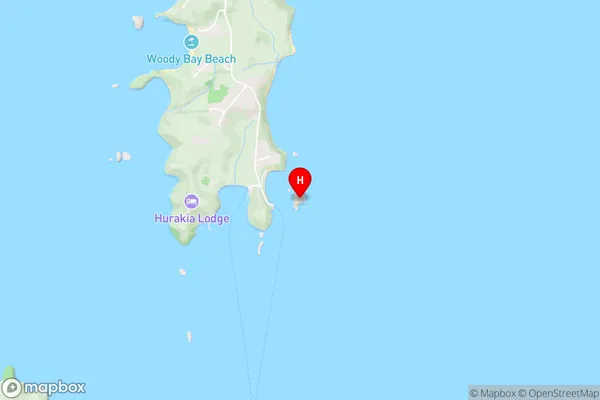
Sandy BaySandy Bay Island Area Map (Street)
Local Authority
AucklandFull Address
Sandy Bay Island, Auckland, New ZealandAddress Type
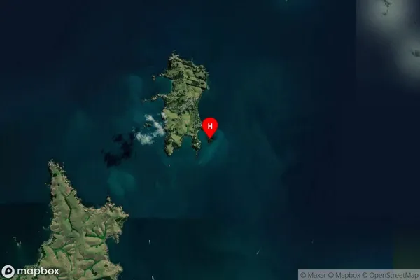
IslandSandy Bay Island Suburb Map (Satellite)
Country
Main Region in AU
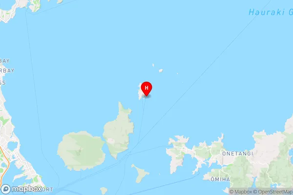
AucklandSandy Bay Island Region Map
Coordinates
-36.72582895,174.954606388228 (latitude/longitude)Distances
The distance from Sandy Bay Island, , Auckland to NZ Top 10 Cities