Rurima Island Area, Rurima Island Postcode & Map in Rurima Island
Rurima Island Area, Rurima Island Postcode & Map in Rurima Island, Area outside Territorial Authority, New Zealand
Rurima Island, Area outside Territorial Authority, New Zealand
Rurima Island Area (estimated)
0.1 square kilometersRurima Island Population (estimated)
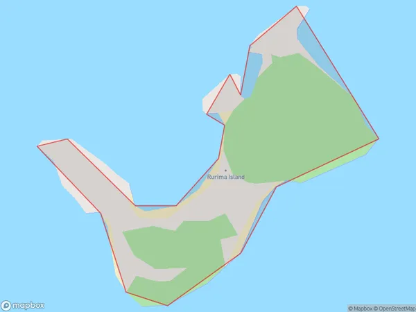
0 people live in Rurima Island, Bay of Plenty, NZRurima Island Suburb Area Map (Polygon)
Rurima Island Introduction
Rurima Island is a small, uninhabited island in the Bay of Plenty, New Zealand. It is part of the Rurima Island Group and is surrounded by stunning beaches and crystal-clear waters. The island is a popular destination for day trips and outdoor activities such as snorkeling, kayaking, and hiking. It is also home to a variety of bird species and is considered a sacred site by local Māori tribes.Region
Suburb Name
Rurima Island (Maori Name: Rūrima Island)Other Name(s)
Bay Of PlentyRurima Island Area Map (Street)

Local Authority
Area outside Territorial AuthorityFull Address
Rurima Island, Area outside Territorial Authority, New ZealandAddress Type
IslandRurima Island Suburb Map (Satellite)

Country
Main Region in AU
Bay of PlentyRurima Island Region Map

Coordinates
-37.83104915,176.872616753637 (latitude/longitude)Distances
The distance from Rurima Island, , Area outside Territorial Authority to NZ Top 10 Cities