Rukawahakura Island Area, Rukawahakura Island Postcode & Map in Rukawahakura Island
Rukawahakura Island Area, Rukawahakura Island Postcode & Map in Rukawahakura Island, Southland District, New Zealand
Rukawahakura Island, Southland District, New Zealand
Rukawahakura Island Area (estimated)
0.3 square kilometersRukawahakura Island Population (estimated)
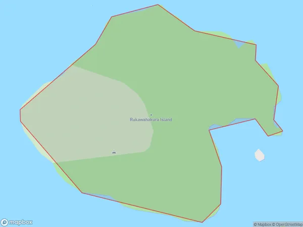
0 people live in Rukawahakura Island, Southland, NZRukawahakura Island Suburb Area Map (Polygon)
Rukawahakura Island Introduction
Rukawahakura Island is a small, uninhabited island located in Fiordland National Park in Southland, New Zealand. It is known for its stunning natural beauty, including rugged cliffs, lush forests, and crystal-clear waters. The island is a popular destination for hiking, kayaking, and wildlife viewing, with a variety of bird species and marine life calling it home. Rukawahakura Island is also home to a historic stone hut, built by early settlers for shelter and cultivation.Region
Suburb Name
Rukawahakura IslandOther Name(s)
Breaksea Islands, Titi / Muttonbird Islands (Maori Name: Breaksea Islands, Tītī / Muttonbird Islands)Rukawahakura Island Area Map (Street)

Local Authority
Southland DistrictFull Address
Rukawahakura Island, Southland District, New ZealandAddress Type
IslandRukawahakura Island Suburb Map (Satellite)

Country
Main Region in AU
SouthlandRukawahakura Island Region Map

Coordinates
-47.1040535,168.200689642476 (latitude/longitude)Distances
The distance from Rukawahakura Island, , Southland District to NZ Top 10 Cities