Ruapapaka Island Area, Ruapapaka Island Postcode & Map in Ruapapaka Island
Ruapapaka Island Area, Ruapapaka Island Postcode & Map in Ruapapaka Island, Far North District, New Zealand
Ruapapaka Island, Far North District, New Zealand
Ruapapaka Island Area (estimated)
0.0 square kilometersRuapapaka Island Population (estimated)
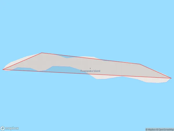
0 people live in Ruapapaka Island, Kaikohe-Hokianga Community, NZRuapapaka Island Suburb Area Map (Polygon)
Ruapapaka Island Introduction
Ruapapaka Island is a small, uninhabited island in the Bay of Islands, Northland, New Zealand. It is known for its stunning natural beauty, including crystal-clear waters, white sand beaches, and lush tropical vegetation. The island is a popular destination for day trips and overnight stays, with visitors able to explore the island's walking tracks, swim in the lagoon, and relax in the tranquil surroundings.Region
Major City
Suburb Name
Ruapapaka IslandOther Name(s)
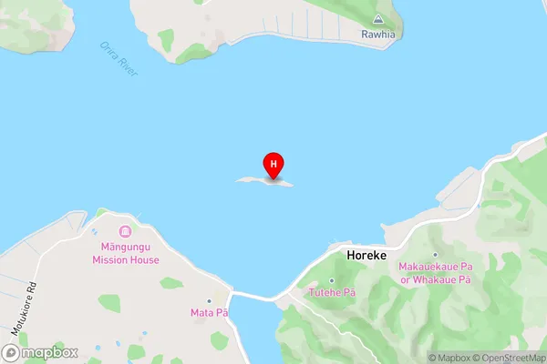
Hokianga HarbourRuapapaka Island Area Map (Street)
Local Authority
Far North DistrictFull Address
Ruapapaka Island, Far North District, New ZealandAddress Type
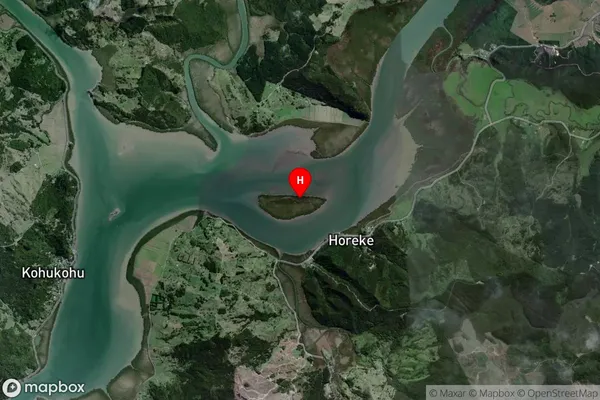
IslandRuapapaka Island Suburb Map (Satellite)
Country
Main Region in AU
NorthlandRuapapaka Island Region Map

Coordinates
-35.35107185,173.584458153514 (latitude/longitude)Distances
The distance from Ruapapaka Island, , Far North District to NZ Top 10 Cities