Ruamahuanui Island Area, Ruamahuanui Island Postcode(3500) & Map in Ruamahuanui Island
Ruamahuanui Island Area, Ruamahuanui Island Postcode(3500) & Map in Ruamahuanui Island, Thames-Coromandel District, New Zealand
Ruamahuanui Island, Thames-Coromandel District, New Zealand
Ruamahuanui Island Postcodes
Ruamahuanui Island Area (estimated)
0.4 square kilometersRuamahuanui Island Population (estimated)
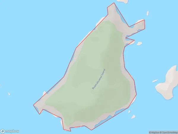
0 people live in Ruamahuanui Island, Waikato, NZRuamahuanui Island Suburb Area Map (Polygon)
Ruamahuanui Island Introduction
Ruamahuanui Island is a 53-hectare island in the Waikato River, 10 km northwest of Hamilton, New Zealand. It is a popular destination for outdoor activities such as hiking, camping, and fishing, and is home to a variety of wildlife, including birds, bats, and reptiles. The island has a rich history and was once the site of a significant Māori settlement. It is also known for its stunning natural beauty, with rugged cliffs, lush forests, and crystal-clear waters.Region
Suburb Name
Ruamahuanui IslandOther Name(s)
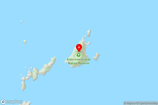
The Aldermen IslandsRuamahuanui Island Area Map (Street)
Local Authority
Thames-Coromandel DistrictFull Address
Ruamahuanui Island, Thames-Coromandel District, New ZealandAddress Type
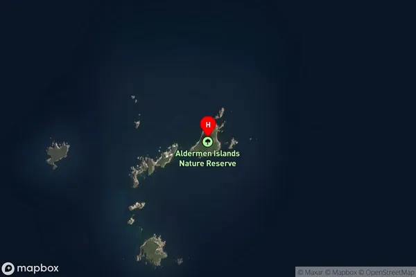
IslandRuamahuanui Island Suburb Map (Satellite)
Country
Main Region in AU
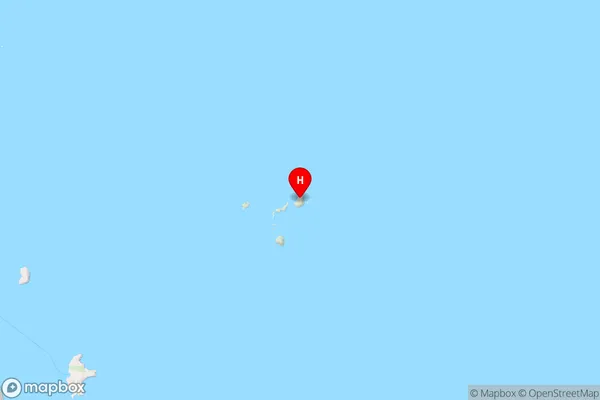
WaikatoRuamahuanui Island Region Map
Coordinates
-36.9525126,176.094893557977 (latitude/longitude)Distances
The distance from Ruamahuanui Island, , Thames-Coromandel District to NZ Top 10 Cities