Ruamahuaiti Island Area, Ruamahuaiti Island Postcode(3500) & Map in Ruamahuaiti Island
Ruamahuaiti Island Area, Ruamahuaiti Island Postcode(3500) & Map in Ruamahuaiti Island, Thames-Coromandel District, New Zealand
Ruamahuaiti Island, Thames-Coromandel District, New Zealand
Ruamahuaiti Island Postcodes
Ruamahuaiti Island Area (estimated)
0.3 square kilometersRuamahuaiti Island Population (estimated)
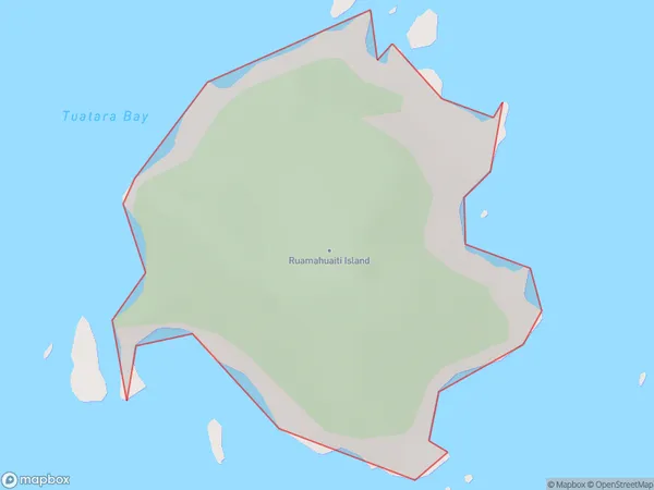
0 people live in Ruamahuaiti Island, Waikato, NZRuamahuaiti Island Suburb Area Map (Polygon)
Ruamahuaiti Island Introduction
Ruamahuaiti Island is a small island in the Waikato River, New Zealand. It is a popular destination for outdoor activities such as hiking, kayaking, and fishing. The island has a rich history and is known for its beautiful natural scenery, including lush forests, waterfalls, and stunning views of the river. Ruamahuaiti Island is also home to a variety of wildlife, including birds, bats, and insects.Region
Suburb Name
Ruamahuaiti IslandOther Name(s)
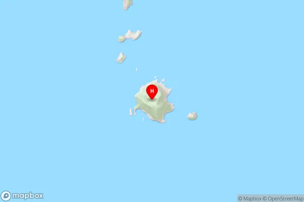
The Aldermen IslandsRuamahuaiti Island Area Map (Street)
Local Authority
Thames-Coromandel DistrictFull Address
Ruamahuaiti Island, Thames-Coromandel District, New ZealandAddress Type
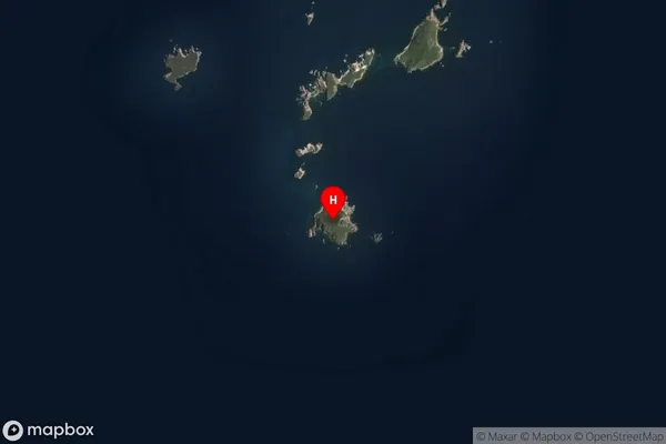
IslandRuamahuaiti Island Suburb Map (Satellite)
Country
Main Region in AU
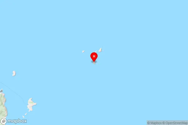
WaikatoRuamahuaiti Island Region Map
Coordinates
-36.97486305,176.080934828286 (latitude/longitude)Distances
The distance from Ruamahuaiti Island, , Thames-Coromandel District to NZ Top 10 Cities