Halswell Area, Halswell Postcode(8025) & Map in Halswell, Christchurch City
Halswell Area, Halswell Postcode(8025) & Map in Halswell, Christchurch City, Selwyn District, New Zealand
Halswell, Christchurch City, Selwyn District, New Zealand
Halswell Area (estimated)
27.5 square kilometersHalswell Population (estimated)
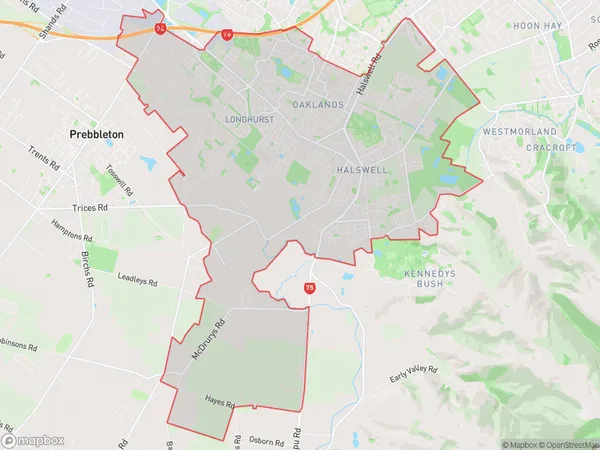
16852 people live in Halswell, Halswell-Hornby-Riccarton Community, NZHalswell Suburb Area Map (Polygon)
Halswell Introduction
Halswell is a suburb of Christchurch, New Zealand, located in the eastern suburbs of the city. It is known for its well-preserved historic buildings and gardens, including the Halswell House, which is a historic villa built in 1877. The suburb has a variety of shops, cafes, and restaurants, and is popular with families and young professionals. It is also home to the Halswell Aquatic Centre, a popular swimming and leisure facility.Region
Major City
Suburb Name
HalswellOther Name(s)
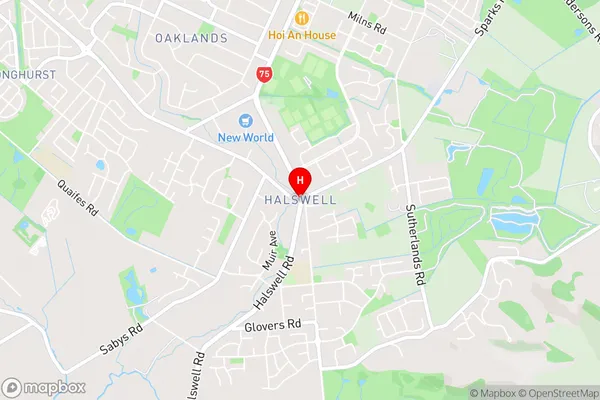
Ladbrooks, Oaklands, WestlakeHalswell Area Map (Street)
Local Authority
Christchurch City, Selwyn DistrictFull Address
Halswell, Christchurch City, Selwyn District, New ZealandAddress Type
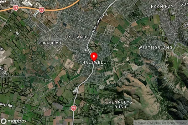
Suburb in City ChristchurchHalswell Suburb Map (Satellite)
Country
Main Region in AU
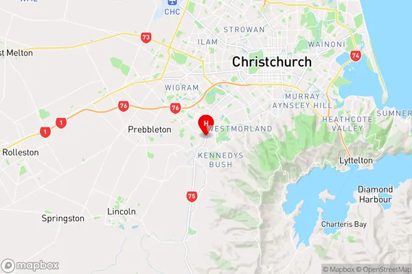
CanterburyHalswell Region Map
Coordinates
-43.5855643,172.57058 (latitude/longitude)Distances
The distance from Halswell, Christchurch, Christchurch City, Selwyn District to NZ Top 10 Cities