Rotoroa Island Area, Rotoroa Island Postcode(0622) & Map in Rotoroa Island
Rotoroa Island Area, Rotoroa Island Postcode(0622) & Map in Rotoroa Island, Auckland, New Zealand
Rotoroa Island, Auckland, New Zealand
Rotoroa Island Postcodes
Rotoroa Island Area (estimated)
1.1 square kilometersRotoroa Island Population (estimated)
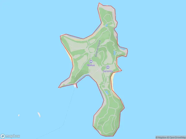
0 people live in Rotoroa Island, Waiheke, NZRotoroa Island Suburb Area Map (Polygon)
Rotoroa Island Introduction
Rotoroa Island is a small, uninhabited island in the Hauraki Gulf, located off the coast of Auckland, New Zealand. It is known for its scenic beauty, including lush forests, crystal-clear waters, and stunning beaches. The island is a popular destination for day trips, with visitors able to explore the island's walking tracks, swim in the lagoon, and visit the historic ruins of a former Maori settlement.Region
Major City
Suburb Name
Rotoroa IslandOther Name(s)
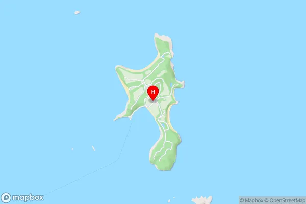
Hauraki GulfRotoroa Island Area Map (Street)
Local Authority
AucklandFull Address
Rotoroa Island, Auckland, New ZealandAddress Type
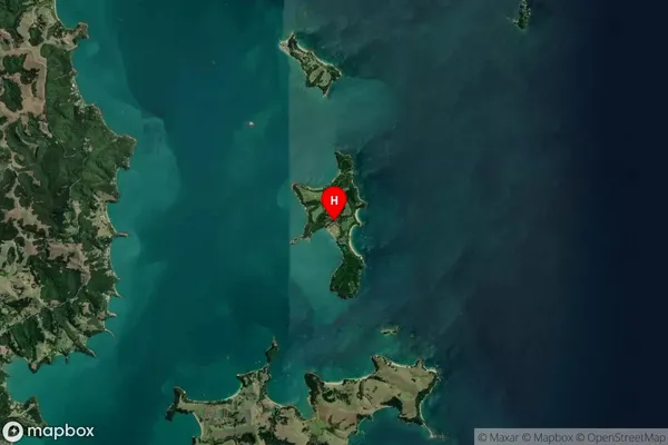
Island in City AucklandRotoroa Island Suburb Map (Satellite)
Country
Main Region in AU
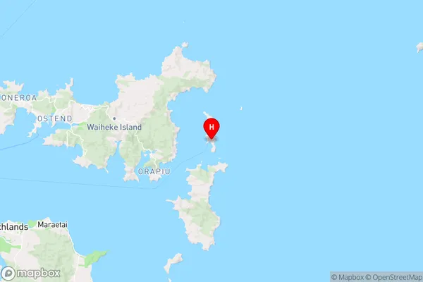
AucklandRotoroa Island Region Map
Coordinates
-36.8155816,175.197524308266 (latitude/longitude)Distances
The distance from Rotoroa Island, Auckland, Auckland to NZ Top 10 Cities