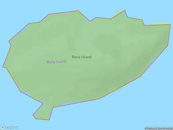
Rona Island Area, Rona Island Postcode(9643) & Map in Rona Island
Rona Island Area, Rona Island Postcode(9643) & Map in Rona Island, Southland District, New Zealand
Rona Island, Southland District, New Zealand
Rona Island Postcodes
Rona Island Area (estimated)
0.7 square kilometersRona Island Population (estimated)
0 people live in Rona Island, Fiordland Community, NZRona Island Suburb Area Map (Polygon)
Rona Island Introduction
Rona Island is a small island in Fiordland, Southland, New Zealand. It is part of the Fiordland National Park and is known for its scenic beauty, including waterfalls, rainforests, and mountain views. The island is accessible by a scenic ferry ride from Milford Sound. Rona Island has a population of around 50 people and is home to a variety of wildlife, including kea, tui, and penguins.Region
Major City
Suburb Name
Rona IslandOther Name(s)
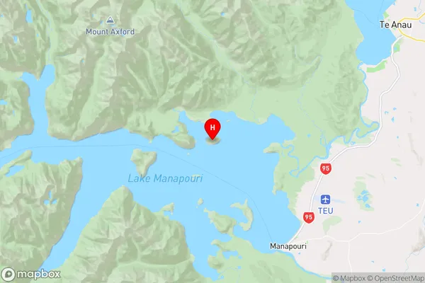
Lake ManapouriRona Island Area Map (Street)

Local Authority
Southland DistrictFull Address
Rona Island, Southland District, New ZealandAddress Type
IslandRona Island Suburb Map (Satellite)

Country
Main Region in AU
SouthlandRona Island Region Map
Coordinates
-45.49402945,167.539994035069 (latitude/longitude)Distances
The distance from Rona Island, , Southland District to NZ Top 10 Cities