Rolla Island Area, Rolla Island Postcode & Map in Rolla Island
Rolla Island Area, Rolla Island Postcode & Map in Rolla Island, Southland District, New Zealand
Rolla Island, Southland District, New Zealand
Rolla Island Area (estimated)
0.0 square kilometersRolla Island Population (estimated)
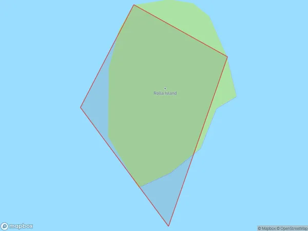
0 people live in Rolla Island, Southland, NZRolla Island Suburb Area Map (Polygon)
Rolla Island Introduction
Rolla Island is a small, uninhabited island in Fiordland, Southland, New Zealand. It is part of the Dusky Sound group of islands and is surrounded by stunning natural scenery. The island is known for its rugged coastline, dense forests, and abundant wildlife, including seals, penguins, and kea. Rolla Island is a popular destination for outdoor enthusiasts, with opportunities for hiking, kayaking, and fishing.Region
Suburb Name
Rolla IslandOther Name(s)
Doubtful Sound / PateaRolla Island Area Map (Street)

Local Authority
Southland DistrictFull Address
Rolla Island, Southland District, New ZealandAddress Type
IslandRolla Island Suburb Map (Satellite)

Country
Main Region in AU
SouthlandRolla Island Region Map

Coordinates
-45.44092885,167.13217936628 (latitude/longitude)Distances
The distance from Rolla Island, , Southland District to NZ Top 10 Cities