Rocky Island Area, Rocky Island Postcode & Map in Rocky Island
Rocky Island Area, Rocky Island Postcode & Map in Rocky Island, Far North District, New Zealand
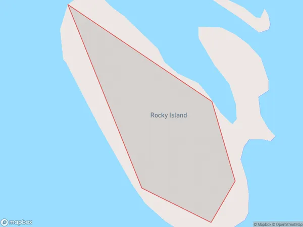
Rocky Island, Far North District, New Zealand
Rocky Island Area (estimated)
0.0 square kilometersRocky Island Population (estimated)
0 people live in Rocky Island, Northland, NZRocky Island Suburb Area Map (Polygon)
Rocky Island Introduction
Rocky Island is located in the Bay of Islands, Northland, New Zealand. It is a small, uninhabited island with a rocky coastline and a beautiful natural environment. The island is a popular destination for tourists and is known for its stunning sunsets, clear waters, and diverse marine life. It is also home to a variety of bird species, including the rare North Island brown kiwi.Region
Suburb Name
Rocky IslandOther Name(s)
Moturoa IslandsRocky Island Area Map (Street)

Local Authority
Far North DistrictFull Address
Rocky Island, Far North District, New ZealandAddress Type
IslandRocky Island Suburb Map (Satellite)

Country
Main Region in AU
NorthlandRocky Island Region Map

Coordinates
-34.7749944,173.393975418086 (latitude/longitude)Distances
The distance from Rocky Island, , Far North District to NZ Top 10 Cities