Ripapa Island Area, Ripapa Island Postcode(8082) & Map in Ripapa Island
Ripapa Island Area, Ripapa Island Postcode(8082) & Map in Ripapa Island, Christchurch City, New Zealand
Ripapa Island, Christchurch City, New Zealand
Ripapa Island Postcodes
Ripapa Island Area (estimated)
0.0 square kilometersRipapa Island Population (estimated)
0 people live in Ripapa Island, Banks Peninsula Community, NZRipapa Island Suburb Area Map (Polygon)
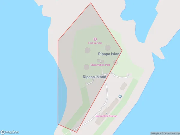
Ripapa Island Introduction
Ripapa Island is a small, uninhabited island in the Foveaux Strait, located in the Canterbury region of New Zealand. It is part of the Foveaux Islands group and is known for its scenic beauty, including rugged cliffs, sandy beaches, and diverse wildlife. The island is a popular destination for day trips and outdoor activities such as hiking, kayaking, and birdwatching.Region
Major City
Suburb Name
Ripapa IslandOther Name(s)
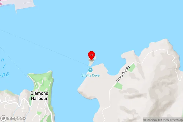
Lyttelton Harbour/Whakaraupo (Maori Name: Lyttelton Harbour/Whakaraupō)Ripapa Island Area Map (Street)
Local Authority
Christchurch CityFull Address
Ripapa Island, Christchurch City, New ZealandAddress Type
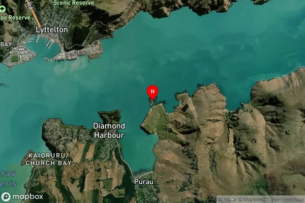
IslandRipapa Island Suburb Map (Satellite)
Country
Main Region in AU
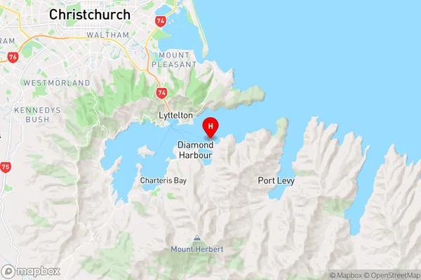
CanterburyRipapa Island Region Map
Coordinates
-43.6201048,172.75461384282 (latitude/longitude)Distances
The distance from Ripapa Island, , Christchurch City to NZ Top 10 Cities