Rileys Lookout / Panau Island Area, Rileys Lookout / Panau Island Postcode & Map in Rileys Lookout / Panau Island
Rileys Lookout / Panau Island Area, Rileys Lookout / Panau Island Postcode & Map in Rileys Lookout / Panau Island, Area outside Territorial Authority,
Rileys Lookout / Panau Island, Area outside Territorial Authority,
Rileys Lookout / Panau Island Area (estimated)
0.0 square kilometersRileys Lookout / Panau Island Population (estimated)
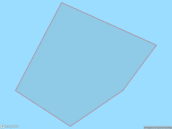
0 people live in Rileys Lookout / Panau Island, Brighton, NZRileys Lookout / Panau Island Suburb Area Map (Polygon)
Rileys Lookout / Panau Island Introduction
Rileys Lookout is a historic site on Panau Island in Otago, New Zealand. It offers panoramic views of the island and the surrounding sea and is a popular tourist destination. The lookout was built in 1867 by Thomas Riley, who was the lighthouse keeper at the time. It is named after him and is one of the oldest surviving lighthouses in New Zealand.Region
Major City
Suburb Name
Rileys Lookout / Panau IslandOther Name(s)
Panau Island, Rileys LookoutRileys Lookout / Panau Island Area Map (Street)
Local Authority
Area outside Territorial AuthorityFull Address
Rileys Lookout / Panau Island, Area outside Territorial Authority,Address Type
IslandRileys Lookout / Panau Island Suburb Map (Satellite)
Country
Main Region in AU
OtagoRileys Lookout / Panau Island Region Map
Coordinates
0,0 (latitude/longitude)Distances
The distance from Rileys Lookout / Panau Island, , Area outside Territorial Authority to NZ Top 10 Cities