Resolution Island Area, Resolution Island Postcode & Map in Resolution Island
Resolution Island Area, Resolution Island Postcode & Map in Resolution Island, Southland District, New Zealand
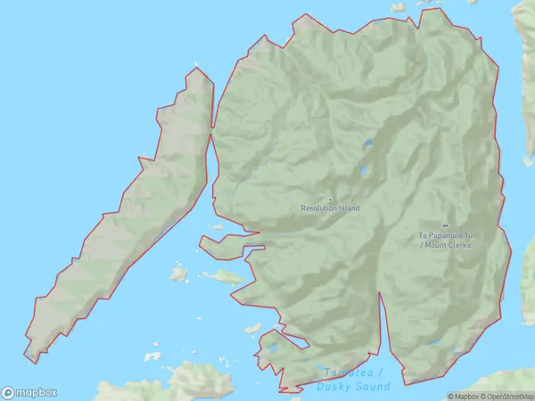
Resolution Island, Southland District, New Zealand
Resolution Island Area (estimated)
249.3 square kilometersResolution Island Population (estimated)
2 people live in Resolution Island, Southland, NZResolution Island Suburb Area Map (Polygon)
Resolution Island Introduction
Resolution Island is a small island in Fiordland National Park, Southland, New Zealand. It is known for its stunning natural beauty, including rugged mountain landscapes, crystal-clear lakes, and abundant wildlife. The island is accessible by a scenic ferry ride from Milford Sound or by a challenging hike. It is a popular destination for hiking, camping, and wildlife viewing, with several trails and campsites available for visitors.Region
Suburb Name
Resolution IslandResolution Island Area Map (Street)

Local Authority
Southland DistrictFull Address
Resolution Island, Southland District, New ZealandAddress Type
IslandResolution Island Suburb Map (Satellite)

Country
Main Region in AU
SouthlandResolution Island Region Map

Coordinates
-45.67823955,166.636266135376 (latitude/longitude)Distances
The distance from Resolution Island, , Southland District to NZ Top 10 Cities