Raukawa Rock Area, Raukawa Rock Postcode & Map in Raukawa Rock
Raukawa Rock Area, Raukawa Rock Postcode & Map in Raukawa Rock, Marlborough District, New Zealand
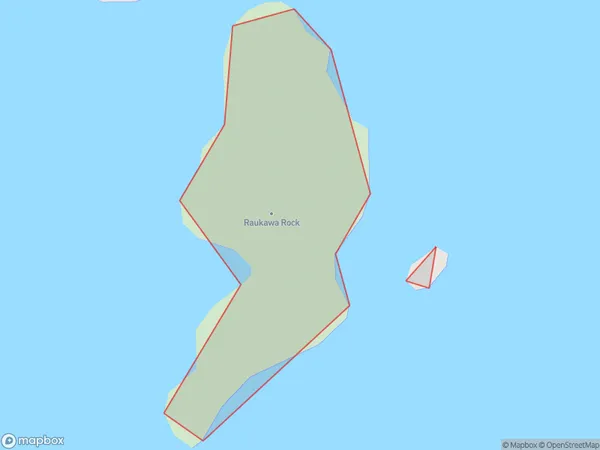
Raukawa Rock, Marlborough District, New Zealand
Raukawa Rock Area (estimated)
0.1 square kilometersRaukawa Rock Population (estimated)
0 people live in Raukawa Rock, Marlborough, NZRaukawa Rock Suburb Area Map (Polygon)
Raukawa Rock Introduction
Raukawa Rock is a prominent rock formation located in the Marlborough Sounds, New Zealand. It is a popular destination for boaters and tourists due to its scenic beauty and rich marine life. The rock is approximately 200 meters long and 50 meters high and is surrounded by crystal-clear waters. It is home to a variety of bird species, including penguins, sea lions, and dolphins. Raukawa Rock also has a rich cultural history, with evidence of human settlement dating back thousands of years.Region
0Suburb Name
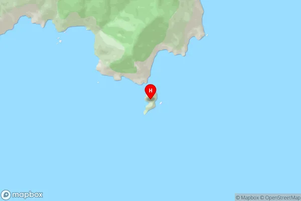
Raukawa RockOther Name(s)
Cook StraitRaukawa Rock Area Map (Street)
Local Authority
Marlborough DistrictFull Address
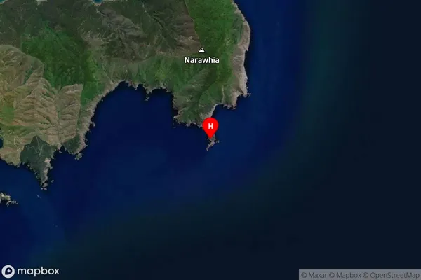
Raukawa Rock, Marlborough District, New ZealandAddress Type
Island in Major Locality Marlborough SoundsRaukawa Rock Suburb Map (Satellite)
Country
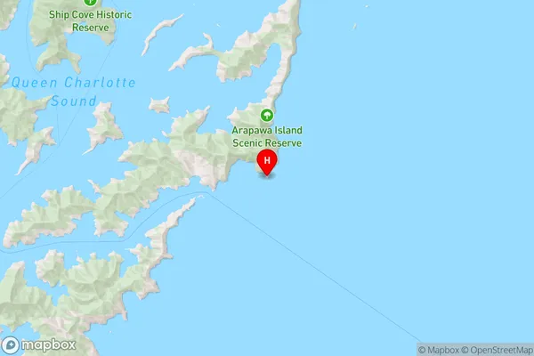
Main Region in AU
MarlboroughRaukawa Rock Region Map
Coordinates
-41.20256,174.364724467025 (latitude/longitude)Distances
The distance from Raukawa Rock, Marlborough Sounds, Marlborough District to NZ Top 10 Cities