Rat Island Area, Rat Island Postcode & Map in Rat Island
Rat Island Area, Rat Island Postcode & Map in Rat Island, Whangarei District, New Zealand
Rat Island, Whangarei District, New Zealand
Rat Island Area (estimated)
0.1 square kilometersRat Island Population (estimated)
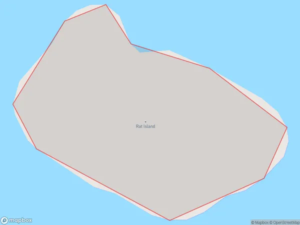
0 people live in Rat Island, Southland, NZRat Island Suburb Area Map (Polygon)
Rat Island Introduction
Rat Island is a small island in Fiordland, Southland, New Zealand. It is known for its large population of rats, which are not native to the island. The rats were introduced by early settlers and have thrived in the isolated environment. The island is a popular tourist destination and is accessible by boat from nearby towns.Region
Suburb Name
Rat IslandOther Name(s)
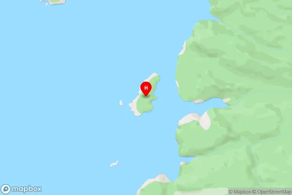
Whangarei Harbour (Maori Name: Whangārei Harbour)Rat Island Area Map (Street)
Local Authority
Whangarei DistrictFull Address
Rat Island, Whangarei District, New ZealandAddress Type
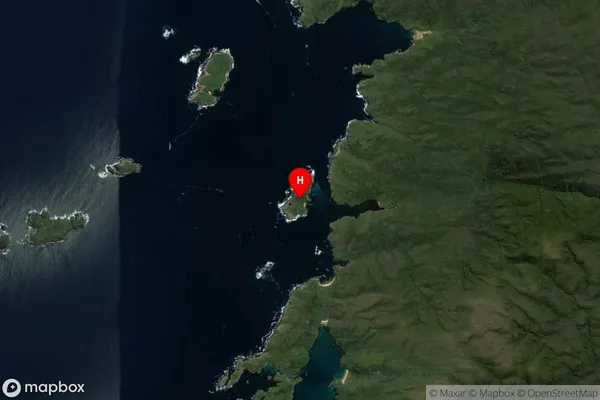
IslandRat Island Suburb Map (Satellite)
Country
Main Region in AU
SouthlandRat Island Region Map

Coordinates
-47.1336721,167.5679747 (latitude/longitude)Distances
The distance from Rat Island, , Whangarei District to NZ Top 10 Cities