Rangiwaea Island Area, Rangiwaea Island Postcode(3110) & Map in Rangiwaea Island
Rangiwaea Island Area, Rangiwaea Island Postcode(3110) & Map in Rangiwaea Island, Western Bay of Plenty District, New Zealand
Rangiwaea Island, Western Bay of Plenty District, New Zealand
Rangiwaea Island Postcodes
Rangiwaea Island Area (estimated)
4.3 square kilometersRangiwaea Island Population (estimated)
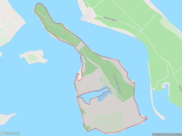
2 people live in Rangiwaea Island, Bay of Plenty, NZRangiwaea Island Suburb Area Map (Polygon)
Rangiwaea Island Introduction
Rangiwaea Island is a volcanic island in the Bay of Plenty, New Zealand. It is the most remote island in New Zealand and is part of the Kermadec Islands. The island is known for its unique wildlife, including the rare blue penguin and the largest albatross colony in the world. Rangiwaea Island is also a popular destination for scientific research and conservation efforts due to its pristine environment and unique biodiversity.Region
Suburb Name
Rangiwaea IslandOther Name(s)
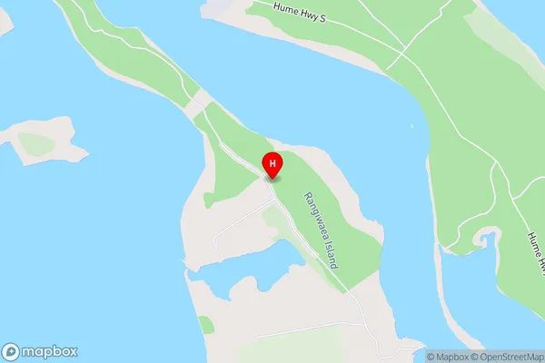
Tauranga HarbourRangiwaea Island Area Map (Street)
Local Authority
Western Bay of Plenty DistrictFull Address
Rangiwaea Island, Western Bay of Plenty District, New ZealandAddress Type
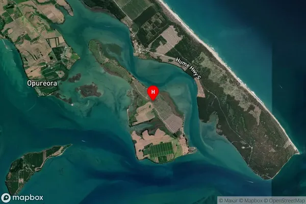
IslandRangiwaea Island Suburb Map (Satellite)
Country
Main Region in AU
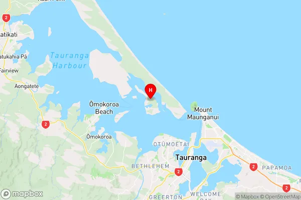
Bay of PlentyRangiwaea Island Region Map
Coordinates
-37.62351545,176.112102990216 (latitude/longitude)Distances
The distance from Rangiwaea Island, , Western Bay of Plenty District to NZ Top 10 Cities