Rangitoto Island Area, Rangitoto Island Postcode(0622) & Map in Rangitoto Island
Rangitoto Island Area, Rangitoto Island Postcode(0622) & Map in Rangitoto Island, Auckland, New Zealand
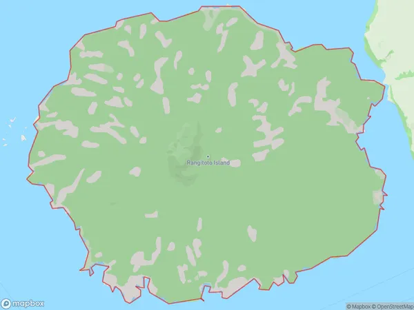
Rangitoto Island, Auckland, New Zealand
Rangitoto Island Postcodes
Rangitoto Island Area (estimated)
28.0 square kilometersRangitoto Island Population (estimated)
0 people live in Rangitoto Island, Waiheke, NZRangitoto Island Suburb Area Map (Polygon)
Rangitoto Island Introduction
Rangitoto Island is a volcanic island in Auckland Harbour, New Zealand. It is the most visible island in the Auckland skyline and is a popular tourist destination. The island has a population of around 500 people and is home to a variety of wildlife, including birds, reptiles, and mammals. Rangitoto Island is also known for its stunning volcanic landscapes, including the summit of Mount Rangitoto, which offers panoramic views of Auckland and the surrounding area.Region
Major City
Suburb Name
Rangitoto IslandOther Name(s)
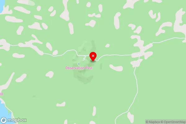
Hauraki GulfRangitoto Island Area Map (Street)
Local Authority
AucklandFull Address
Rangitoto Island, Auckland, New ZealandAddress Type
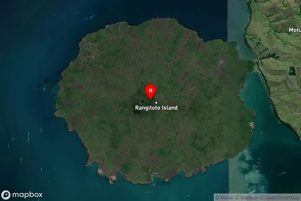
Island in City AucklandRangitoto Island Suburb Map (Satellite)
Country
Main Region in AU
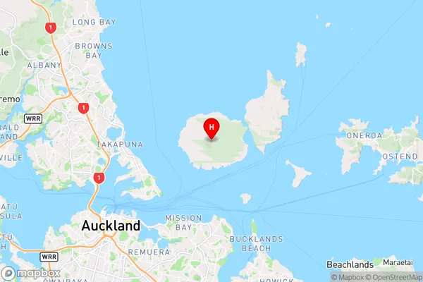
AucklandRangitoto Island Region Map
Coordinates
-36.7861061,174.861133875263 (latitude/longitude)Distances
The distance from Rangitoto Island, Auckland, Auckland to NZ Top 10 Cities