Rangipukea Island Area, Rangipukea Island Postcode(3500) & Map in Rangipukea Island
Rangipukea Island Area, Rangipukea Island Postcode(3500) & Map in Rangipukea Island, Thames-Coromandel District, New Zealand
Rangipukea Island, Thames-Coromandel District, New Zealand
Rangipukea Island Postcodes
Rangipukea Island Area (estimated)
0.4 square kilometersRangipukea Island Population (estimated)
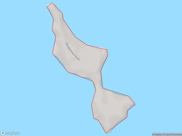
0 people live in Rangipukea Island, Waikato, NZRangipukea Island Suburb Area Map (Polygon)
Rangipukea Island Introduction
Rangipukea Island is a 100-hectare island in the Waikato region of New Zealand. It is home to a diverse range of wildlife, including native birds, reptiles, and marine mammals. The island is also known for its stunning beaches, crystal-clear waters, and rugged cliffs. Visitors can access the island by boat or helicopter and enjoy activities such as hiking, snorkeling, and kayaking. The island is a popular destination for nature lovers and outdoor enthusiasts and is considered one of New Zealand's most beautiful and protected areas.Region
Suburb Name
Rangipukea IslandOther Name(s)
Hauraki GulfRangipukea Island Area Map (Street)

Local Authority
Thames-Coromandel DistrictFull Address
Rangipukea Island, Thames-Coromandel District, New ZealandAddress Type
IslandRangipukea Island Suburb Map (Satellite)

Country
Main Region in AU
WaikatoRangipukea Island Region Map

Coordinates
-36.82637055,175.410855179355 (latitude/longitude)Distances
The distance from Rangipukea Island, , Thames-Coromandel District to NZ Top 10 Cities