Rangiatea Island Area, Rangiatea Island Postcode & Map in Rangiatea Island
Rangiatea Island Area, Rangiatea Island Postcode & Map in Rangiatea Island, Far North District, New Zealand
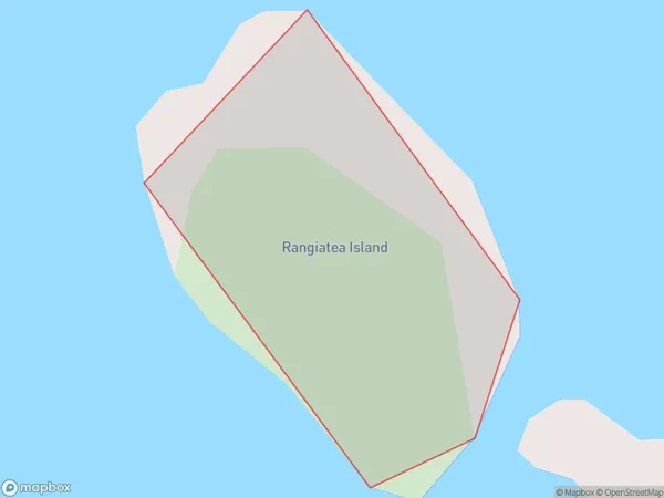
Rangiatea Island, Far North District, New Zealand
Rangiatea Island Area (estimated)
0.0 square kilometersRangiatea Island Population (estimated)
0 people live in Rangiatea Island, Bay of Islands-Whangaroa Community, NZRangiatea Island Suburb Area Map (Polygon)
Rangiatea Island Introduction
Rangiatea Island is a 120-hectare island in the Northland region of New Zealand. It is known for its stunning natural beauty, including lush forests, crystal-clear waters, and sandy beaches. The island is home to a variety of wildlife, including rare birds and endangered species of plants and animals. Visitors can explore the island by hiking, kayaking, or snorkeling, and there are also several accommodation options available, including a luxury lodge and a campground.Region
Major City
Suburb Name
Rangiatea IslandOther Name(s)
Bay Of IslandsRangiatea Island Area Map (Street)

Local Authority
Far North DistrictFull Address
Rangiatea Island, Far North District, New ZealandAddress Type
IslandRangiatea Island Suburb Map (Satellite)

Country
Main Region in AU
NorthlandRangiatea Island Region Map

Coordinates
-35.21791835,174.179693843991 (latitude/longitude)Distances
The distance from Rangiatea Island, , Far North District to NZ Top 10 Cities