Rakino Island Area, Rakino Island Postcode(1010) & Map in Rakino Island
Rakino Island Area, Rakino Island Postcode(1010) & Map in Rakino Island, Auckland, New Zealand
Rakino Island, Auckland, New Zealand
Rakino Island Postcodes
Rakino Island Area (estimated)
1.9 square kilometersRakino Island Population (estimated)
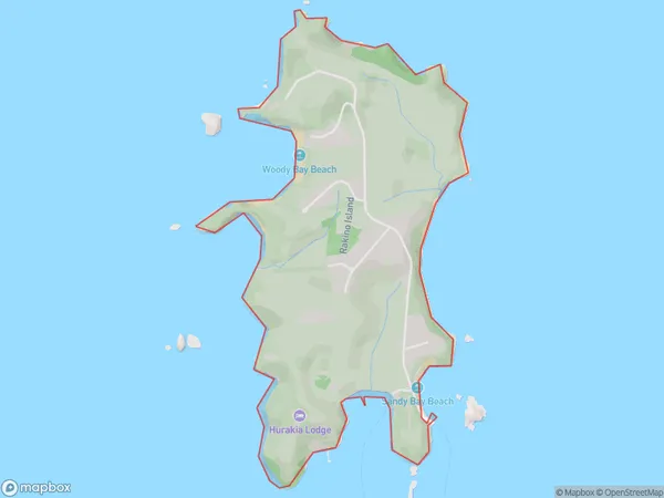
28 people live in Rakino Island, Waiheke, NZRakino Island Suburb Area Map (Polygon)
Rakino Island Introduction
Rakino Island is a small, car-free island in Auckland Harbour, known for its peaceful atmosphere, stunning wildlife, and picturesque beaches. It is a popular destination for outdoor activities such as hiking, kayaking, and birdwatching, and is home to a large colony of native birds. The island also has a rich history, with evidence of human settlement dating back to prehistoric times. Rakino Island is accessible by ferry from Auckland City or by private boat.Region
Major City
Suburb Name
Rakino IslandOther Name(s)
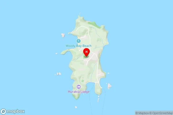
Hauraki GulfRakino Island Area Map (Street)
Local Authority
AucklandFull Address
Rakino Island, Auckland, New ZealandAddress Type
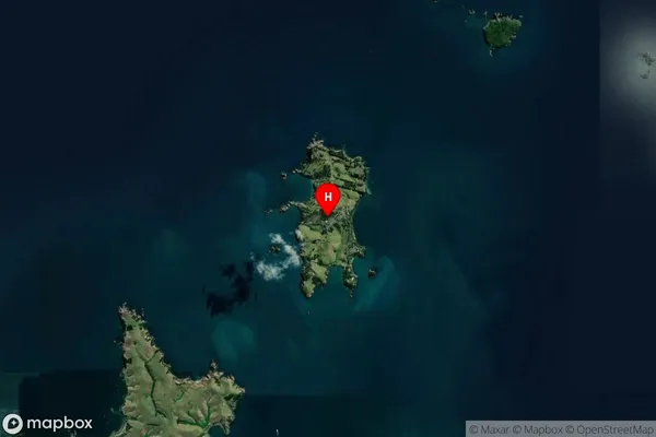
Island in City AucklandRakino Island Suburb Map (Satellite)
Country
Main Region in AU
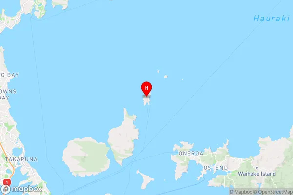
AucklandRakino Island Region Map
Coordinates
-36.7189218,174.947650178512 (latitude/longitude)Distances
The distance from Rakino Island, Auckland, Auckland to NZ Top 10 Cities