Rahui Island Area, Rahui Island Postcode(4108) & Map in Rahui Island
Rahui Island Area, Rahui Island Postcode(4108) & Map in Rahui Island, Wairoa District, New Zealand
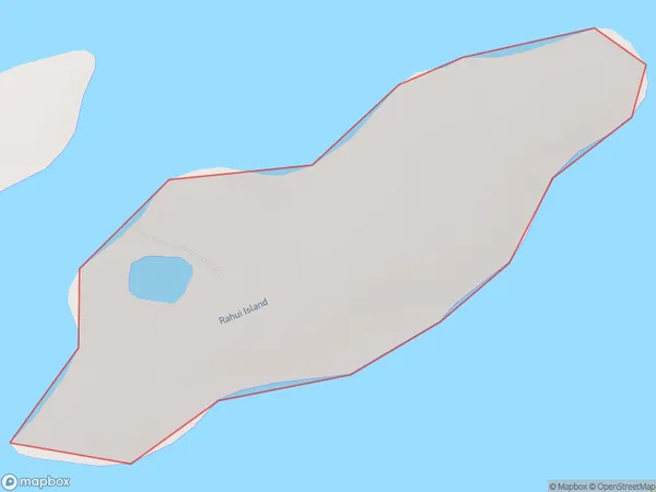
Rahui Island, Wairoa District, New Zealand
Rahui Island Postcodes
Rahui Island Area (estimated)
0.3 square kilometersRahui Island Population (estimated)
0 people live in Rahui Island, Hawke's Bay, NZRahui Island Suburb Area Map (Polygon)
Rahui Island Introduction
Rahui Island is a small, uninhabited island located in the Hawke's Bay region of New Zealand. It is known for its unique biodiversity, including rare and endangered species of birds and plants. The island is surrounded by a marine reserve and is a popular destination for birdwatchers and nature enthusiasts.Region
Suburb Name
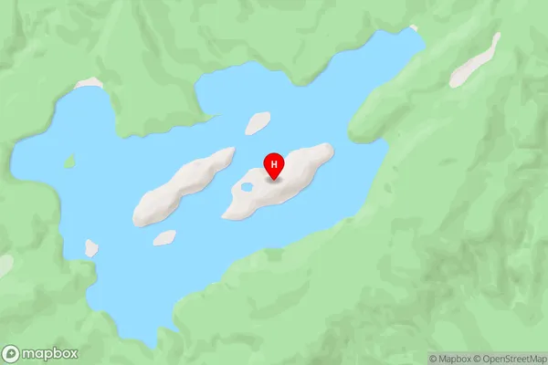
Rahui IslandOther Name(s)
Lake WaikareitiRahui Island Area Map (Street)
Local Authority
Wairoa DistrictFull Address
Rahui Island, Wairoa District, New ZealandAddress Type
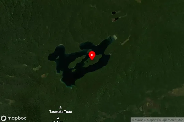
IslandRahui Island Suburb Map (Satellite)
Country
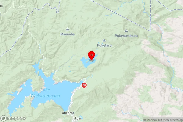
Main Region in AU
Hawke's BayRahui Island Region Map
Coordinates
-38.71218515,177.175606151788 (latitude/longitude)Distances
The distance from Rahui Island, , Wairoa District to NZ Top 10 Cities