Rahomaunu Island Area, Rahomaunu Island Postcode & Map in Rahomaunu Island
Rahomaunu Island Area, Rahomaunu Island Postcode & Map in Rahomaunu Island, Area outside Territorial Authority, New Zealand
Rahomaunu Island, Area outside Territorial Authority, New Zealand
Rahomaunu Island Area (estimated)
0.0 square kilometersRahomaunu Island Population (estimated)
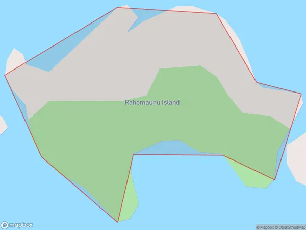
0 people live in Rahomaunu Island, Northland, NZRahomaunu Island Suburb Area Map (Polygon)
Rahomaunu Island Introduction
Rahomaunu Island is located in the Bay of Islands, Northland, New Zealand. It is a small, uninhabited island with a beautiful beach and stunning natural surroundings. The island is a popular destination for day trips and outdoor activities such as hiking, snorkeling, and kayaking. It is also known for its rich cultural heritage, with several ancient archaeological sites located on the island.Region
Suburb Name
Rahomaunu IslandRahomaunu Island Area Map (Street)

Local Authority
Area outside Territorial AuthorityFull Address
Rahomaunu Island, Area outside Territorial Authority, New ZealandAddress Type
IslandRahomaunu Island Suburb Map (Satellite)

Country
Main Region in AU
NorthlandRahomaunu Island Region Map

Coordinates
-35.62396595,174.545883597877 (latitude/longitude)Distances
The distance from Rahomaunu Island, , Area outside Territorial Authority to NZ Top 10 Cities