Hakataramea Valley Area, Hakataramea Valley Postcode & Map in Hakataramea Valley, Mackenzie District
Hakataramea Valley Area, Hakataramea Valley Postcode & Map in Hakataramea Valley, Mackenzie District, Waimate District,
Hakataramea Valley, Mackenzie District, Waimate District,
Hakataramea Valley Area (estimated)
574.4 square kilometersHakataramea Valley Population (estimated)
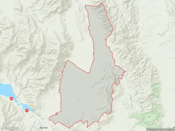
134 people live in Hakataramea Valley, Waimate, NZHakataramea Valley Suburb Area Map (Polygon)
Hakataramea Valley Introduction
Hakataramea Valley is a picturesque rural valley located in the Canterbury region of New Zealand. It is known for its stunning natural beauty, including lush green forests, crystal-clear rivers, and breathtaking mountain views. The valley is home to a variety of wildlife, including native birds, deer, and wild goats. The area is popular with outdoor enthusiasts, who enjoy hiking, mountain biking, and fishing in the nearby rivers and lakes. The valley also has a rich cultural heritage, with several historic buildings and sites located throughout the region.Region
Major City
Suburb Name
Hakataramea ValleyOther Name(s)
Haka ValleyHakataramea Valley Area Map (Street)
Local Authority
Mackenzie District, Waimate DistrictFull Address
Hakataramea Valley, Mackenzie District, Waimate District,Address Type
Locality in Major Locality Hakataramea ValleyHakataramea Valley Suburb Map (Satellite)
Country
Main Region in AU
CanterburyHakataramea Valley Region Map
Coordinates
0,0 (latitude/longitude)Distances
The distance from Hakataramea Valley, Hakataramea Valley, Mackenzie District, Waimate District to NZ Top 10 Cities