Otamahua / Quail Island Area, Otamahua / Quail Island Postcode(8082) & Map in Otamahua / Quail Island
Otamahua / Quail Island Area, Otamahua / Quail Island Postcode(8082) & Map in Otamahua / Quail Island, Christchurch City, New Zealand
Otamahua / Quail Island, Christchurch City, New Zealand
Otamahua / Quail Island Postcodes
Otamahua / Quail Island Area (estimated)
1.0 square kilometersOtamahua / Quail Island Population (estimated)
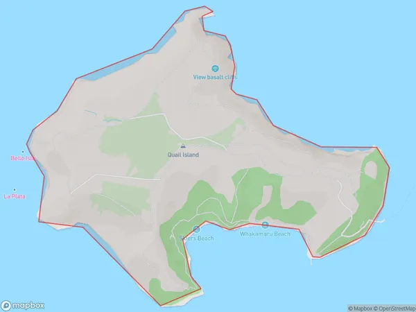
3 people live in Otamahua / Quail Island, Banks Peninsula Community, NZOtamahua / Quail Island Suburb Area Map (Polygon)
Otamahua / Quail Island Introduction
Otamahua / Quail Island is located in the Pegasus Bay of the Canterbury region of New Zealand. It is a small, uninhabited island that is part of the Pegasus Islands Conservation Area. The island is known for its diverse wildlife, including native birds, reptiles, and insects. It is also a popular destination for birdwatching and nature photography.Region
Major City
Suburb Name
Otamahua / Quail Island (Maori Name: Ōtamahua / Quail Island)Other Name(s)
Otamahua, Quail Island, Lyttelton Harbour/Whakaraupo (Maori Name: Otamahua, Quail Island, Lyttelton Harbour/Whakaraupō)Otamahua / Quail Island Area Map (Street)
Local Authority
Christchurch CityFull Address
Otamahua / Quail Island, Christchurch City, New ZealandAddress Type
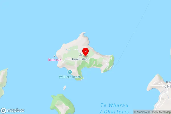
IslandOtamahua / Quail Island Suburb Map (Satellite)
Country
Main Region in AU
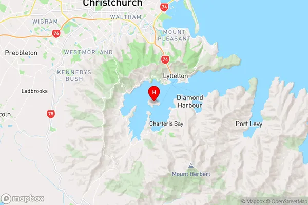
CanterburyOtamahua / Quail Island Region Map
Coordinates
-43.6282914,172.691939099649 (latitude/longitude)Distances
The distance from Otamahua / Quail Island, , Christchurch City to NZ Top 10 Cities