Pupuia Island Area, Pupuia Island Postcode & Map in Pupuia Island
Pupuia Island Area, Pupuia Island Postcode & Map in Pupuia Island, Kaipara District, New Zealand
Pupuia Island, Kaipara District, New Zealand
Pupuia Island Area (estimated)
0.0 square kilometersPupuia Island Population (estimated)
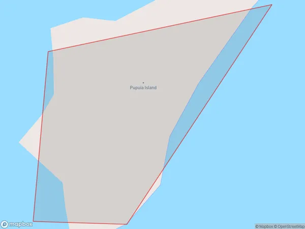
0 people live in Pupuia Island, Northland, NZPupuia Island Suburb Area Map (Polygon)
Pupuia Island Introduction
Pupuia Island is a small, uninhabited island in the Bay of Islands, Northland, New Zealand. It is known for its significant bird population, including the rare and endangered North Island brown kiwi. The island is part of the Pupuia Island Wildlife Reserve and is accessible by boat from Russell.Region
Suburb Name
Pupuia IslandOther Name(s)
Kaipara HarbourPupuia Island Area Map (Street)

Local Authority
Kaipara DistrictFull Address
Pupuia Island, Kaipara District, New ZealandAddress Type
IslandPupuia Island Suburb Map (Satellite)

Country
Main Region in AU
NorthlandPupuia Island Region Map

Coordinates
-36.2217839,174.166753313483 (latitude/longitude)Distances
The distance from Pupuia Island, , Kaipara District to NZ Top 10 Cities