Pupuha Island Area, Pupuha Island Postcode & Map in Pupuha Island
Pupuha Island Area, Pupuha Island Postcode & Map in Pupuha Island, Whangarei District, New Zealand
Pupuha Island, Whangarei District, New Zealand
Pupuha Island Area (estimated)
0.0 square kilometersPupuha Island Population (estimated)
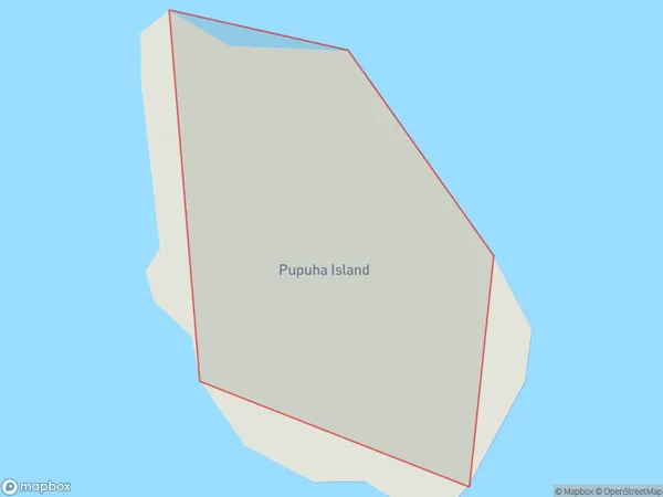
0 people live in Pupuha Island, Northland, NZPupuha Island Suburb Area Map (Polygon)
Pupuha Island Introduction
Pupuha Island is located in the Bay of Islands in Northland, New Zealand. It is a small, uninhabited island with a rich history and stunning natural beauty. The island is known for its ancient rock carvings, which date back to around 1500 AD. Pupuha Island is also home to a variety of bird species, including the rare North Island brown kiwi. The island is accessible by boat from Paihia or Russell and is a popular destination for hiking, snorkeling, and kayaking.Region
Suburb Name
Pupuha IslandOther Name(s)
Hen And Chicken IslandsPupuha Island Area Map (Street)

Local Authority
Whangarei DistrictFull Address
Pupuha Island, Whangarei District, New ZealandAddress Type
IslandPupuha Island Suburb Map (Satellite)

Country
Main Region in AU
NorthlandPupuha Island Region Map

Coordinates
-35.88631285,174.701887100469 (latitude/longitude)Distances
The distance from Pupuha Island, , Whangarei District to NZ Top 10 Cities