Puotewheke / Scuffle Island Area, Puotewheke / Scuffle Island Postcode & Map in Puotewheke / Scuffle Island
Puotewheke / Scuffle Island Area, Puotewheke / Scuffle Island Postcode & Map in Puotewheke / Scuffle Island, Marlborough District, New Zealand
Puotewheke / Scuffle Island, Marlborough District, New Zealand
Puotewheke / Scuffle Island Area (estimated)
0.0 square kilometersPuotewheke / Scuffle Island Population (estimated)
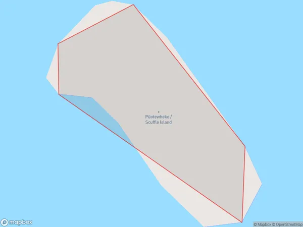
0 people live in Puotewheke / Scuffle Island, Marlborough, NZPuotewheke / Scuffle Island Suburb Area Map (Polygon)
Puotewheke / Scuffle Island Introduction
Puotewheke / Scuffle Island is a small island in the Marlborough Sounds, New Zealand. It is known for its rugged terrain, dense forests, and stunning coastal views. The island is a popular destination for hiking, camping, and wildlife watching, with a variety of bird species and marine life. It is also home to a historic stone fort built by the British in the 18th century.Region
0Suburb Name
Puotewheke / Scuffle Island (Maori Name: Pūotewheke / Scuffle Island)Other Name(s)
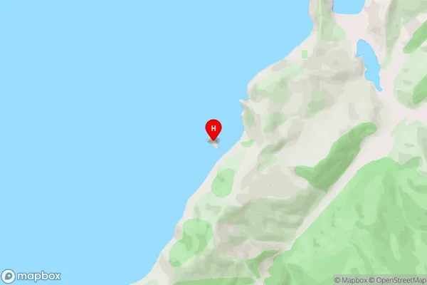
Puotewheke, Scuffle IslandPuotewheke / Scuffle Island Area Map (Street)
Local Authority
Marlborough DistrictFull Address
Puotewheke / Scuffle Island, Marlborough District, New ZealandAddress Type
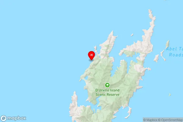
Island in Major Locality Marlborough SoundsPuotewheke / Scuffle Island Suburb Map (Satellite)

Country
Main Region in AU
MarlboroughPuotewheke / Scuffle Island Region Map
Coordinates
-40.78054525,173.822545844031 (latitude/longitude)Distances
The distance from Puotewheke / Scuffle Island, Marlborough Sounds, Marlborough District to NZ Top 10 Cities