Punaruku Island Area, Punaruku Island Postcode(3010) & Map in Punaruku Island
Punaruku Island Area, Punaruku Island Postcode(3010) & Map in Punaruku Island, Rotorua District, New Zealand
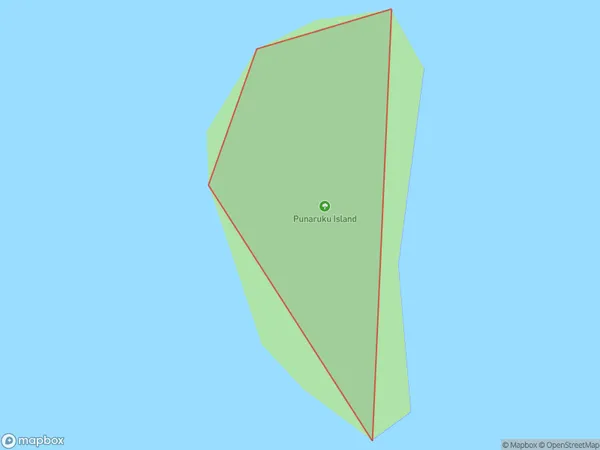
Punaruku Island, Rotorua District, New Zealand
Punaruku Island Postcodes
Punaruku Island Area (estimated)
0.0 square kilometersPunaruku Island Population (estimated)
0 people live in Punaruku Island, Rotorua, NZPunaruku Island Suburb Area Map (Polygon)
Punaruku Island Introduction
Punaruku Island is a small, predator-free island in the Bay of Plenty, New Zealand. It is a popular destination for day trips and overnight stays, offering visitors the chance to experience native birds, plants, and cultural heritage. The island has a rich history and was once home to a Māori tribe. It is also known for its stunning natural beauty, including crystal-clear waters, sandy beaches, and rugged cliffs.Region
Major City
Suburb Name
Punaruku IslandOther Name(s)
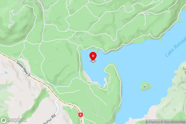
Lake Rotokakahi (Green Lake)Punaruku Island Area Map (Street)
Local Authority
Rotorua DistrictFull Address
Punaruku Island, Rotorua District, New ZealandAddress Type
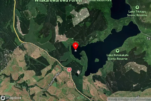
Island in City RotoruaPunaruku Island Suburb Map (Satellite)
Country
Main Region in AU
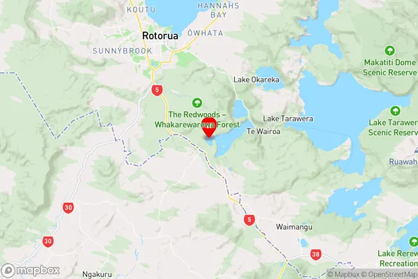
Bay of PlentyPunaruku Island Region Map
Coordinates
-38.21844805,176.301118694996 (latitude/longitude)Distances
The distance from Punaruku Island, Rotorua, Rotorua District to NZ Top 10 Cities