Pukeweka Island Area, Pukeweka Island Postcode & Map in Pukeweka Island
Pukeweka Island Area, Pukeweka Island Postcode & Map in Pukeweka Island, Southland District, New Zealand
Pukeweka Island, Southland District, New Zealand
Pukeweka Island Area (estimated)
0.0 square kilometersPukeweka Island Population (estimated)
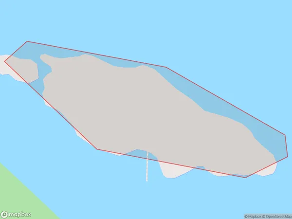
0 people live in Pukeweka Island, Southland, NZPukeweka Island Suburb Area Map (Polygon)
Pukeweka Island Introduction
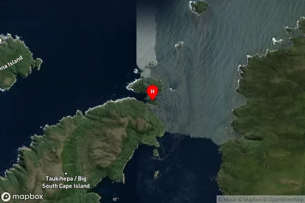
Pukeweka Island is located in Fiordland National Park in Southland, New Zealand. It is a small, uninhabited island with stunning coastal scenery and diverse wildlife. The island is a popular destination for hiking, camping, and fishing, and is known for its stunning natural beauty and peaceful atmosphere.Region
Suburb Name
Pukeweka IslandOther Name(s)
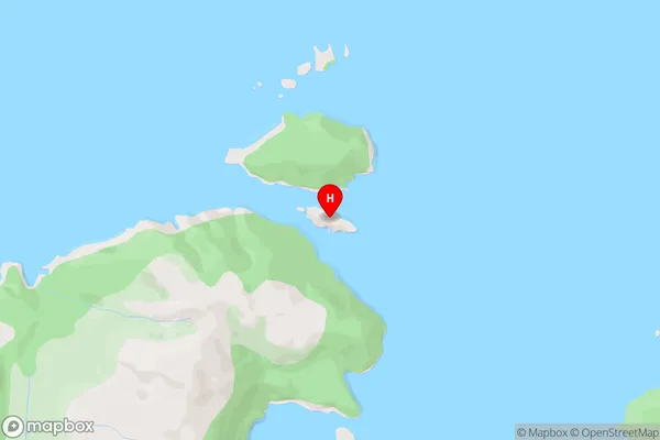
Titi / Muttonbird Islands (Maori Name: Tītī / Muttonbird Islands)Pukeweka Island Area Map (Street)
Local Authority
Southland DistrictFull Address
Pukeweka Island, Southland District, New ZealandAddress Type
IslandPukeweka Island Suburb Map (Satellite)
Country
Main Region in AU
SouthlandPukeweka Island Region Map

Coordinates
-47.2245406,167.4371697 (latitude/longitude)Distances
The distance from Pukeweka Island, , Southland District to NZ Top 10 Cities