Puketu Island Area, Puketu Island Postcode & Map in Puketu Island
Puketu Island Area, Puketu Island Postcode & Map in Puketu Island, Far North District, New Zealand
Puketu Island, Far North District, New Zealand
Puketu Island Area (estimated)
0.0 square kilometersPuketu Island Population (estimated)
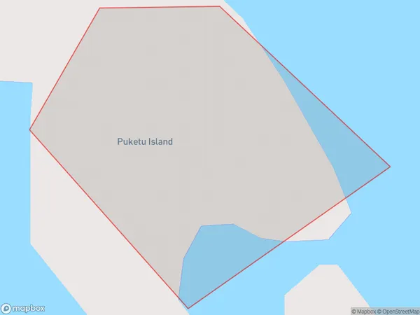
0 people live in Puketu Island, Northland, NZPuketu Island Suburb Area Map (Polygon)
Puketu Island Introduction
Puketu Island is a small, uninhabited island in the Bay of Islands, Northland, New Zealand. It is known for its stunning natural beauty, including crystal-clear waters, white sandy beaches, and lush tropical forests. The island is a popular destination for outdoor activities such as hiking, snorkeling, and kayaking, and is also home to a variety of bird species.Region
Suburb Name
Puketu IslandOther Name(s)
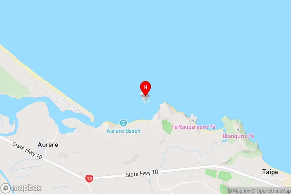
Doubtless BayPuketu Island Area Map (Street)
Local Authority
Far North DistrictFull Address
Puketu Island, Far North District, New ZealandAddress Type
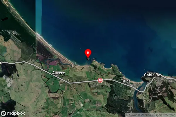
IslandPuketu Island Suburb Map (Satellite)
Country
Main Region in AU
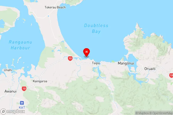
NorthlandPuketu Island Region Map
Coordinates
-34.9816629,173.438642463994 (latitude/longitude)Distances
The distance from Puketu Island, , Far North District to NZ Top 10 Cities