Puharakeke Island Area, Puharakeke Island Postcode(1148) & Map in Puharakeke Island
Puharakeke Island Area, Puharakeke Island Postcode(1148) & Map in Puharakeke Island, Auckland, New Zealand
Puharakeke Island, Auckland, New Zealand
Puharakeke Island Postcodes
Puharakeke Island Area (estimated)
0.0 square kilometersPuharakeke Island Population (estimated)
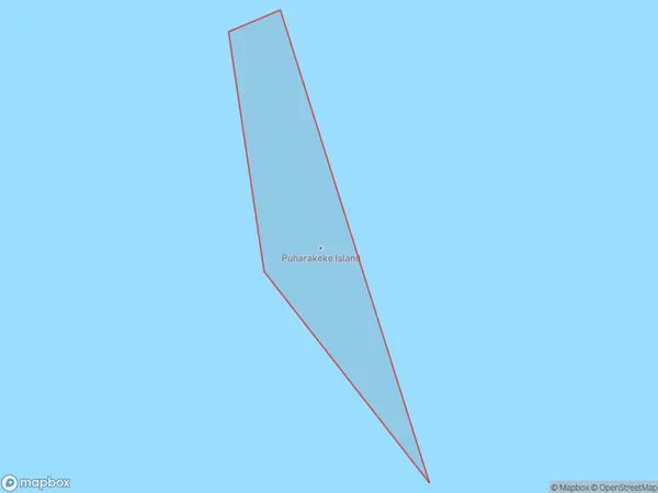
0 people live in Puharakeke Island, Rodney, NZPuharakeke Island Suburb Area Map (Polygon)
Puharakeke Island Introduction
Puharakeke Island is a small, forested island in the Hauraki Gulf, located in Auckland, New Zealand. It is a popular destination for outdoor activities such as hiking, biking, and picnicking, and is home to a variety of bird species. The island has a rich history and was once used as a prison and a military base. It is also known for its stunning coastal scenery and peaceful atmosphere.Region
Major City
Suburb Name
Puharakeke IslandOther Name(s)
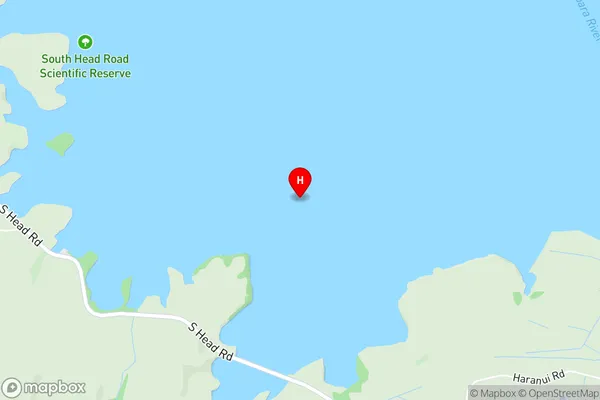
Kawau Parua InletPuharakeke Island Area Map (Street)
Local Authority
AucklandFull Address
Puharakeke Island, Auckland, New ZealandAddress Type
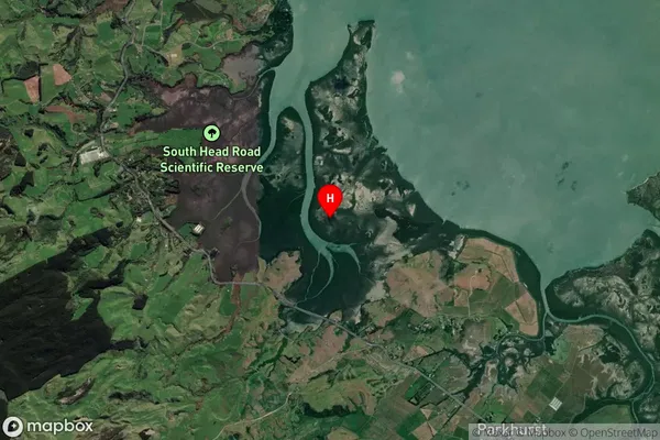
IslandPuharakeke Island Suburb Map (Satellite)
Country
Main Region in AU
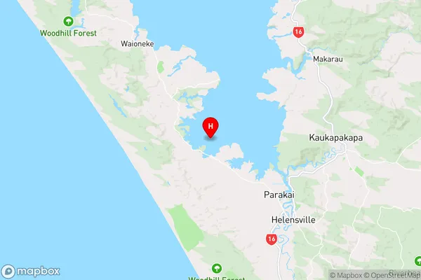
AucklandPuharakeke Island Region Map
Coordinates
-36.61713145,174.369495288388 (latitude/longitude)Distances
The distance from Puharakeke Island, , Auckland to NZ Top 10 Cities