Pudding Island Area, Pudding Island Postcode(0622) & Map in Pudding Island
Pudding Island Area, Pudding Island Postcode(0622) & Map in Pudding Island, Auckland, New Zealand
Pudding Island, Auckland, New Zealand
Pudding Island Postcodes
0Pudding Island Population (estimated)
0 people live in Pudding Island, Rodney, NZ0Pudding Island Introduction
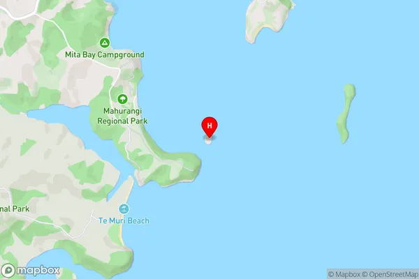
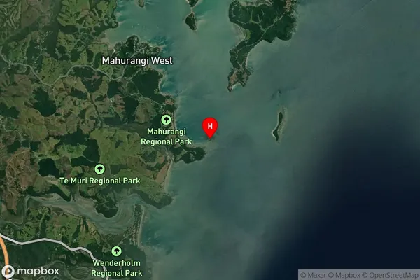
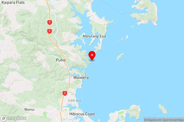
Pudding Island is a small, rocky island in the Hauraki Gulf, located off the coast of Auckland, New Zealand. It is known for its unique geological features, including volcanic rock formations, caves, and a lighthouse. The island is a popular destination for day trips and outdoor activities, such as hiking, snorkeling, and kayaking. It is also home to a variety of bird species, including the rare New Zealand pigeon.Region
Major City
Suburb Name
Pudding IslandOther Name(s)
Hauraki GulfPudding Island Area Map (Street)
Local Authority
AucklandFull Address
Pudding Island, Auckland, New ZealandAddress Type
IslandPudding Island Suburb Map (Satellite)
Country
Main Region in AU
AucklandPudding Island Region Map
Coordinates
-36.5138369,174.730751471741 (latitude/longitude)Distances
The distance from Pudding Island, , Auckland to NZ Top 10 Cities