Poutama Island Area, Poutama Island Postcode & Map in Poutama Island
Poutama Island Area, Poutama Island Postcode & Map in Poutama Island, Southland District, New Zealand
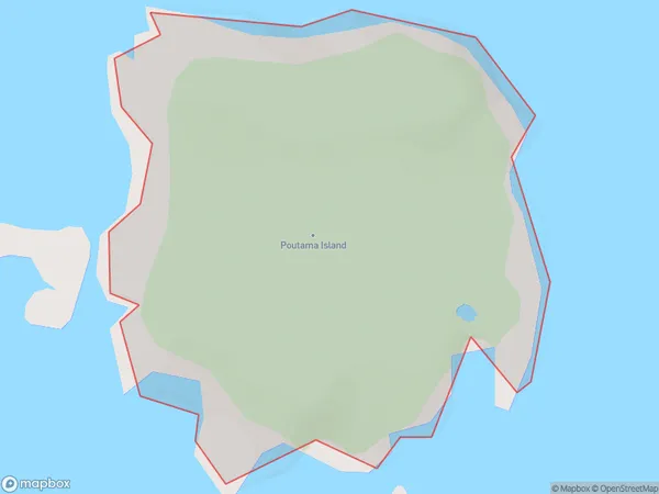
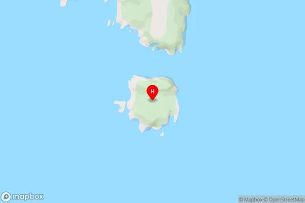
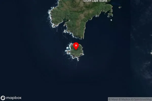
Poutama Island, Southland District, New Zealand
Poutama Island Area (estimated)
0.4 square kilometersPoutama Island Population (estimated)
0 people live in Poutama Island, Southland, NZPoutama Island Suburb Area Map (Polygon)
Poutama Island Introduction
Poutama Island is a small, uninhabited island in Fiordland, Southland, New Zealand. It is part of the Fiordland National Park and is known for its stunning natural beauty, including rugged mountains, dense forests, and crystal-clear lakes. The island is accessible by a scenic boat ride from Te Anau or Milford Sound. Poutama Island is a popular destination for hiking, camping, and wildlife viewing, with a variety of species of birds, including kea and tui.Region
Suburb Name
Poutama IslandOther Name(s)
Titi / Muttonbird Islands (Maori Name: Tītī / Muttonbird Islands)Poutama Island Area Map (Street)
Local Authority
Southland DistrictFull Address
Poutama Island, Southland District, New ZealandAddress Type
IslandPoutama Island Suburb Map (Satellite)
Country
Main Region in AU
SouthlandPoutama Island Region Map

Coordinates
-47.2669093,167.3949305 (latitude/longitude)Distances
The distance from Poutama Island, , Southland District to NZ Top 10 Cities