Potuatua Island Area, Potuatua Island Postcode & Map in Potuatua Island
Potuatua Island Area, Potuatua Island Postcode & Map in Potuatua Island, Southland District, New Zealand
Potuatua Island, Southland District, New Zealand
Potuatua Island Area (estimated)
0.0 square kilometersPotuatua Island Population (estimated)
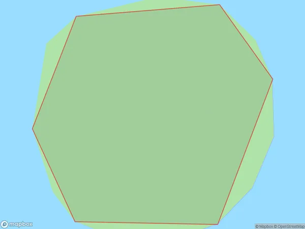
0 people live in Potuatua Island, Southland, NZPotuatua Island Suburb Area Map (Polygon)
Potuatua Island Introduction
Potuatua Island is a small, rocky island located in Fiordland National Park in Southland, New Zealand. It is known for its stunning natural beauty, including rugged cliffs, dense forests, and pristine beaches. The island is a popular destination for hiking, camping, and wildlife viewing, with a variety of species of birds, including kea, tui, and penguins. Potuatua Island is also home to a small population of seals and is considered a sacred site by the local Māori people.Region
Suburb Name
Potuatua IslandOther Name(s)
Breaksea Islands, Titi / Muttonbird Islands (Maori Name: Breaksea Islands, Tītī / Muttonbird Islands)Potuatua Island Area Map (Street)

Local Authority
Southland DistrictFull Address
Potuatua Island, Southland District, New ZealandAddress Type
IslandPotuatua Island Suburb Map (Satellite)

Country
Main Region in AU
SouthlandPotuatua Island Region Map

Coordinates
-47.107333,168.202677904389 (latitude/longitude)Distances
The distance from Potuatua Island, , Southland District to NZ Top 10 Cities